Latitude: 54.6752 / 54°40'30"N
Longitude: -2.7439 / 2°44'37"W
OS Eastings: 352129
OS Northings: 531377
OS Grid: NY521313
Mapcode National: GBR 9G8C.RV
Mapcode Global: WH814.TRL9
Plus Code: 9C6VM7G4+3F
Entry Name: Beacon Tower
Listing Date: 24 April 1951
Grade: I
Source: Historic England
Source ID: 1326889
English Heritage Legacy ID: 72779
ID on this website: 101326889
Location: Scaws, Westmorland and Furness, Cumbria, CA11
County: Westmorland and Furness
District: Eden
Civil Parish: Penrith
Built-Up Area: Penrith
Traditional County: Cumberland
Lieutenancy Area (Ceremonial County): Cumbria
Church of England Parish: Penrith St Andrew
Church of England Diocese: Carlisle
Tagged with: Tower
1. 5165 BEACON ROAD
Beacon Tower 4/30 24.4.51
I
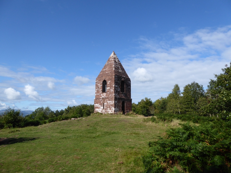
2. 1719 on site of earlier beacons. Repaired 1780, red sandstone, low square tower with pyramid stone roof. Round-arched opening each side with keystones and wrought iron grilles, and small loops to north and south. Round-headed doorway on east. On top of hill, about 930 ft elevation, very prominent landmark.
Listing NGR: NY5212931377
External links are from the relevant listing authority and, where applicable, Wikidata. Wikidata IDs may be related buildings as well as this specific building. If you want to add or update a link, you will need to do so by editing the Wikidata entry.


Other nearby listed buildings