Latitude: 52.3673 / 52°22'2"N
Longitude: -0.2595 / 0°15'34"W
OS Eastings: 518602
OS Northings: 275787
OS Grid: TL186757
Mapcode National: GBR J26.F7K
Mapcode Global: VHGLN.GR5L
Plus Code: 9C4X9P8R+W6
Entry Name: Bridge Crossing Alconbury Brook
Listing Date: 21 July 1951
Last Amended: 21 October 1983
Grade: II
Source: Historic England
Source ID: 1317661
English Heritage Legacy ID: 54499
ID on this website: 101317661
Location: Alconbury, Huntingdonshire, Cambridgeshire, PE28
County: Cambridgeshire
District: Huntingdonshire
Civil Parish: Alconbury
Built-Up Area: Alconbury
Traditional County: Huntingdonshire
Lieutenancy Area (Ceremonial County): Cambridgeshire
Church of England Parish: Alconbury St Peter and St Paul
Church of England Diocese: Ely
TL 17 NE ALCONBURY THE GREEN
4/15 Bridge crossing 21.7.51 Alconbury Brook (Formerly listed as Bridge across - II the Alconbury Brook,on the green)
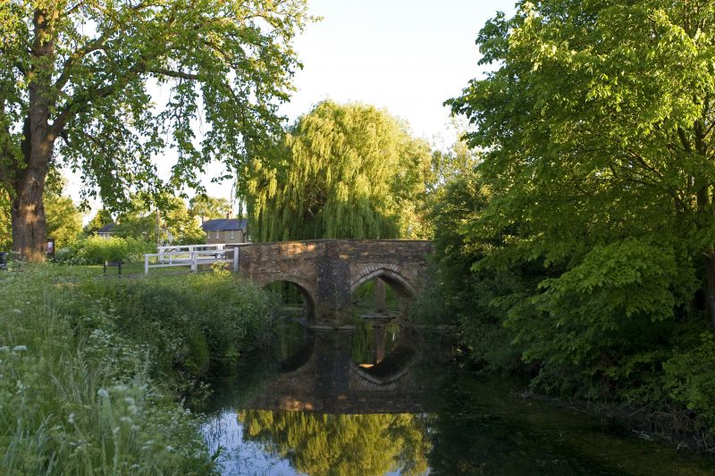
Bridge, C15 spanning Alconbury brook from east to west. Limestone ashlar with brick parapets and repairs. Four, pointed, segmental, chamfered arches with exception of north facing rounded, eastern arch of brick. Southern face of second arch repainted in brick and cutwaters of northern face. RCHM (Hunts) mon.(4) p10. VCH (Hunts) p4. Pevsner: Buildings of England, p205.
Listing NGR: TL1860275787


Other nearby listed buildings