Latitude: 54.5593 / 54°33'33"N
Longitude: -0.7918 / 0°47'30"W
OS Eastings: 478226
OS Northings: 518904
OS Grid: NZ782189
Mapcode National: GBR QHXQ.CC
Mapcode Global: WHF8B.TN3L
Plus Code: 9C6XH655+P7
Entry Name: Royal George Warehouse
Listing Date: 10 December 1985
Grade: II
Source: Historic England
Source ID: 1316069
English Heritage Legacy ID: 327217
ID on this website: 101316069
Location: Staithes, North Yorkshire, TS13
County: North Yorkshire
District: Scarborough
Civil Parish: Hinderwell
Built-Up Area: Staithes
Traditional County: Yorkshire
Lieutenancy Area (Ceremonial County): North Yorkshire
Church of England Parish: Hinderwell with Roxby and Staithes
Church of England Diocese: York
Tagged with: Warehouse
NZ 7818 NW
8/142
HINDERWELL
ROYAL GEORGE YARD
Staithes
Royal George Warehouse
GV
II
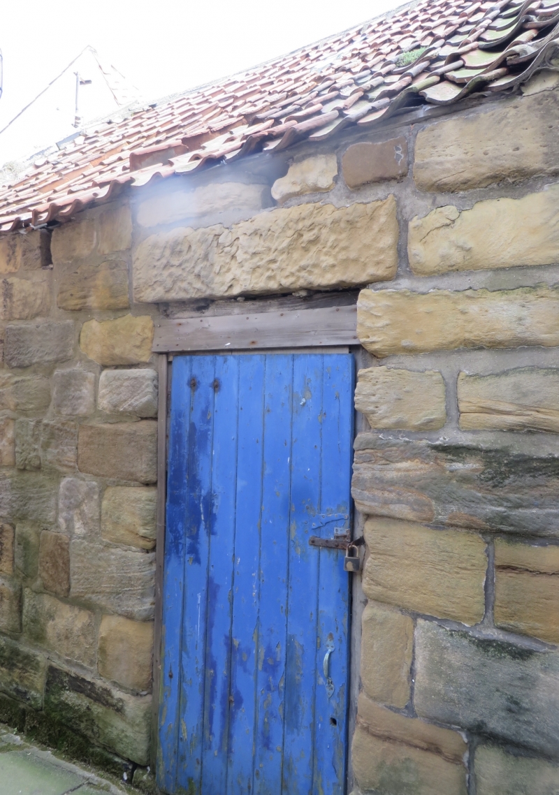
Warehouse, C18. Large coursed squared stones to sides, rubble end walls. Stone-
coped pantiled roof. One tall storey. One tall side door. A blocked door and
small window at end, under stone lintels.
Listing NGR: NZ7822618904
External links are from the relevant listing authority and, where applicable, Wikidata. Wikidata IDs may be related buildings as well as this specific building. If you want to add or update a link, you will need to do so by editing the Wikidata entry.


Other nearby listed buildings