Latitude: 54.4528 / 54°27'9"N
Longitude: -1.274 / 1°16'26"W
OS Eastings: 447168
OS Northings: 506618
OS Grid: NZ471066
Mapcode National: GBR MJJY.ZK
Mapcode Global: WHD7K.DBKS
Plus Code: 9C6WFP3G+49
Entry Name: Hutton Bridge
Listing Date: 23 June 1966
Grade: II
Source: Historic England
Source ID: 1315453
English Heritage Legacy ID: 331932
ID on this website: 101315453
Location: Rudby, North Yorkshire, TS15
County: North Yorkshire
District: Hambleton
Civil Parish: Rudby
Built-Up Area: Hutton Rudby
Traditional County: Yorkshire
Lieutenancy Area (Ceremonial County): North Yorkshire
Church of England Parish: Rudby-in-Cleveland All Saints
Church of England Diocese: York
NZ 40 NE RUDBY RUDBY BANK 7/49
23.6.66 Hutton Bridge
II
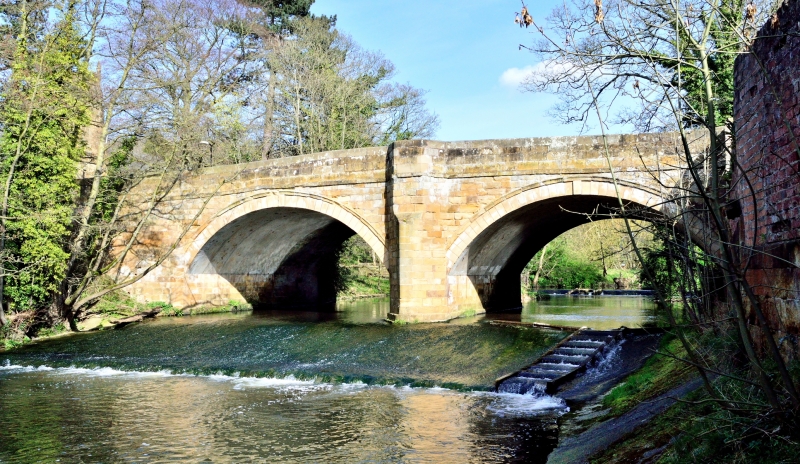
(That part in Rudby Parish). Mid C18. Sandstone ashlar. Two wide segmental arches with drip moulds are divided by pointed cutwaters continued up, chamfered outside and hollowed within, to provide half-hexagonal resting niches for foot passengers. Plain coped parapet slightly splayed at ends.
Listing NGR: NZ4716606611


Other nearby listed buildings