Latitude: 51.3983 / 51°23'53"N
Longitude: -2.3062 / 2°18'22"W
OS Eastings: 378797
OS Northings: 166627
OS Grid: ST787666
Mapcode National: GBR 0QC.CRH
Mapcode Global: VH96M.Z36X
Plus Code: 9C3V9MXV+8G
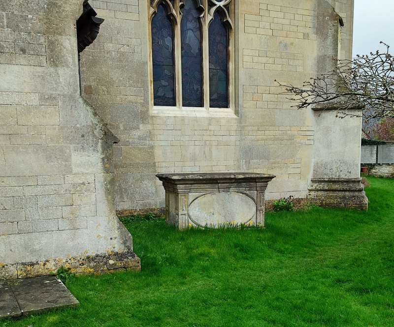
Entry Name: Chest Tomb Immediately to West of North Porch, Parish Church of St Swithun's
Listing Date: 19 October 1983
Grade: II
Source: Historic England
Source ID: 1311928
English Heritage Legacy ID: 32216
ID on this website: 101311928
Location: St Swithun's Church, Bathford, Bath and North East Somerset, Somerset, BA1
County: Bath and North East Somerset
Civil Parish: Bathford
Built-Up Area: Bath
Traditional County: Somerset
Lieutenancy Area (Ceremonial County): Somerset
Tagged with: Chest tomb
ST 7866-7966
9/47
BATHFORD C.P.
CHURCH STREET
(South-east side)
Chest tomb immediately to west of north porch, Parish Church of St. Swithun's.
G.V.
II
Chest tomb. 1770. Ashlar. Panelled sides and moulded cornice. Panelled
corner pilasters; frieze; oval central panel. The chest tombs in Bathford
Churchyard represent a good and extensive collection of classical and traditional
local tomb forms and contribute greatly to the setting of the church.
Listing NGR: ST7879766627
External links are from the relevant listing authority and, where applicable, Wikidata. Wikidata IDs may be related buildings as well as this specific building. If you want to add or update a link, you will need to do so by editing the Wikidata entry.


Other nearby listed buildings