Latitude: 54.9496 / 54°56'58"N
Longitude: -2.0717 / 2°4'18"W
OS Eastings: 395502
OS Northings: 561660
OS Grid: NY955616
Mapcode National: GBR FCZ6.8H
Mapcode Global: WHB2D.4VQG
Plus Code: 9C6VWWXH+R8
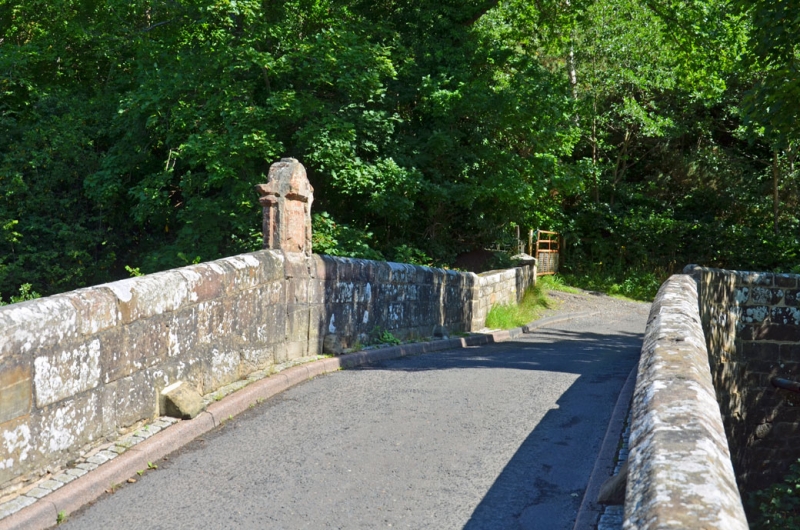
Entry Name: Linnels Bridge
Listing Date: 18 June 1986
Grade: II
Source: Historic England
Source ID: 1303209
English Heritage Legacy ID: 240580
ID on this website: 101303209
Location: Northumberland, NE46
County: Northumberland
Civil Parish: Corbridge
Traditional County: Northumberland
Lieutenancy Area (Ceremonial County): Northumberland
Church of England Parish: Corbridge with Halton and Newton Hall
Church of England Diocese: Newcastle
HEXHAMSHIRE LOW QUARTER B 6306 Linnels NY 96 SE
3/210 Linnels Bridge
II
Bridge, probably 1698 incorporating inscribed tablet from predecessor of 1581. Squared stone. Segmental arch with recessed voussoirs, splayed abutments. Parapets with chamfered coping; flat-coped C20 approach walls. Raised tablet (same design on each face, better preserved on north) on centre of northern parapet has flanking pilasters, entablature with beaded moulding and round-arched pediment; inscription in raised lettering now largely illegible:
GOD PRESARVE WMFOIRA ERENGTON, BELLDETE THIS BREGE OF LYME AND STONE 1581
Listing NGR: NY9550261660


Other nearby listed buildings