Latitude: 54.3149 / 54°18'53"N
Longitude: -2.0812 / 2°4'52"W
OS Eastings: 394815
OS Northings: 491036
OS Grid: SD948910
Mapcode National: GBR FLXK.70
Mapcode Global: WHB5H.0T70
Plus Code: 9C6V8W79+XG
Entry Name: Pump
Listing Date: 9 July 1986
Grade: II
Source: Historic England
Source ID: 1301601
English Heritage Legacy ID: 323042
ID on this website: 101301601
Location: Askrigg, North Yorkshire, DL8
County: North Yorkshire
District: Richmondshire
Civil Parish: Askrigg
Traditional County: Yorkshire
Lieutenancy Area (Ceremonial County): North Yorkshire
Tagged with: Pump
SD 99 SW
19/20
ASKRIGG
MARKET PLACE
Pump
GV
II
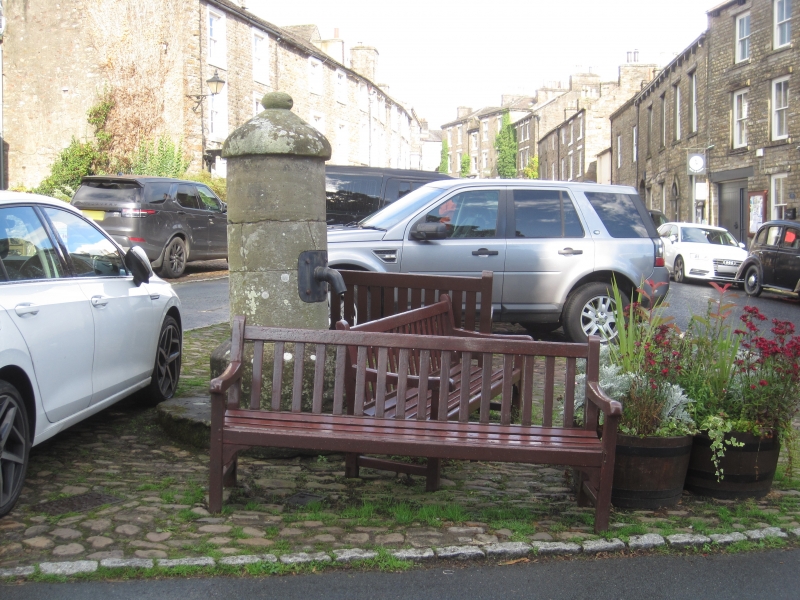
Former pump. 1849. By Leonard Hesletine, an Askrigg mason. Ashlar.
Circular plan, with chamfered base, shaft with wrought-iron handle and scar
of spout, cap with knob finial. Included for group value. Hartley M and
Ingilby J, Yorkshire Village, (1979), p 149.
Listing NGR: SD9481591036
External links are from the relevant listing authority and, where applicable, Wikidata. Wikidata IDs may be related buildings as well as this specific building. If you want to add or update a link, you will need to do so by editing the Wikidata entry.


Other nearby listed buildings