Latitude: 51.3481 / 51°20'53"N
Longitude: -2.2504 / 2°15'1"W
OS Eastings: 382658
OS Northings: 161033
OS Grid: ST826610
Mapcode National: GBR 1SC.FVH
Mapcode Global: VH96V.YC5W
Plus Code: 9C3V8PXX+6R
Entry Name: 2, 5 and 6, Coppice Hill
Listing Date: 7 November 1963
Last Amended: 23 August 1974
Grade: II
Source: Historic England
Source ID: 1300808
English Heritage Legacy ID: 312543
ID on this website: 101300808
Location: Bradford-on-Avon, Wiltshire, BA15
County: Wiltshire
Civil Parish: Bradford-on-Avon
Built-Up Area: Bradford on Avon
Traditional County: Wiltshire
Lieutenancy Area (Ceremonial County): Wiltshire
Church of England Parish: Bradford-on-Avon Holy Trinity
Church of England Diocese: Salisbury
Tagged with: Building
1. COPPICE HILL 5411 (West Side)
Nos 2, 5 & 6 [Formerly listed as Nos 2 to 6 (consec)] ST 8261 1/63 7.11.63.
II GV
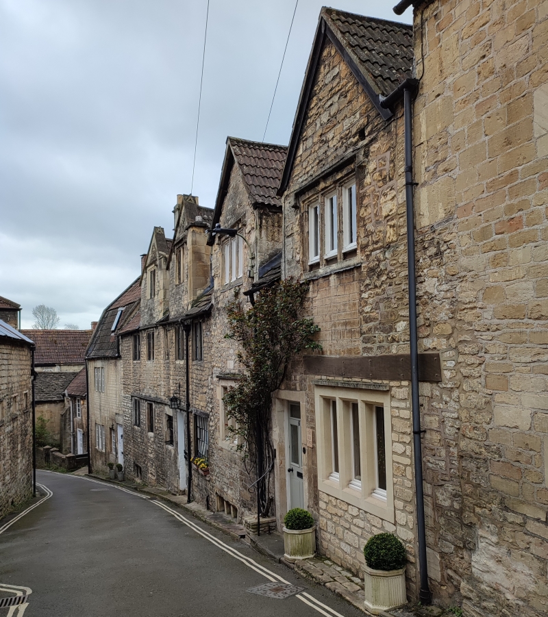
A row of C17 houses originally with one gable each. 2 and 3 storeys. No 2 has a pantiled mansard with dormer. Nos 5 and 6 have 2 gables each, and modern pantiled roofs with stone tiles coming down to the eaves between the gables. Windows generally are 2-and 3-light casements (some leaded), with stone mullions and dripmoulds. No 5 has later windows on ground-floor, one a sash and 2 others fixed lights with glazing bars. Square-headed doorway to each house. No 2 has 6-panel door. Garage-doors to right of No 6.
Nos 2, 5 and 6 Coppice Hill form a group with Nos 3 to 8 (consec), The Shambles, The Kings Arms Hotel, Coppice Hill, Nos 27 to 29 (consec) Silver Street and No 2 Kingston Road.
Listing NGR: ST8265461026
External links are from the relevant listing authority and, where applicable, Wikidata. Wikidata IDs may be related buildings as well as this specific building. If you want to add or update a link, you will need to do so by editing the Wikidata entry.


Other nearby listed buildings