Latitude: 51.2402 / 51°14'24"N
Longitude: 0.3829 / 0°22'58"E
OS Eastings: 566432
OS Northings: 151704
OS Grid: TQ664517
Mapcode National: GBR NQ3.1MN
Mapcode Global: VHJMJ.L382
Plus Code: 9F3269RM+35
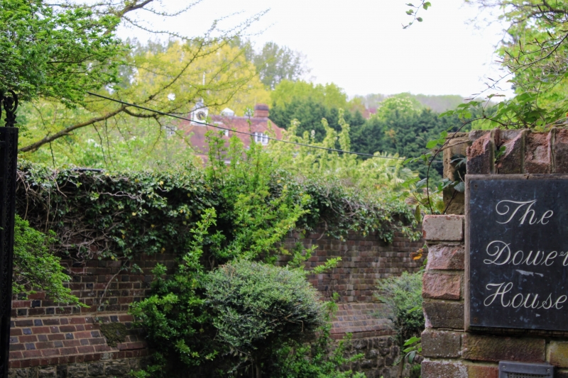
Entry Name: Dower House
Listing Date: 1 August 1952
Grade: II*
Source: Historic England
Source ID: 1299613
English Heritage Legacy ID: 178836
ID on this website: 101299613
Location: Tonbridge and Malling, Kent, TN12
County: Kent
District: Tonbridge and Malling
Civil Parish: East Peckham
Traditional County: Kent
Lieutenancy Area (Ceremonial County): Kent
Church of England Parish: East Peckham
Church of England Diocese: Rochester
Tagged with: House
TQ 65 SE EAST PECKHAM ROYDON HALL ROAD (west side)
2/60 Dower House
1.8.52 II*
House. Circa 1690, possibly the almost complete rebuilding of a house built earlier in the century. Red brick with blue headers, heavily moulded volute bracketed modillioned cornice with concealed lead gutters to hipped tiled roof with 2 hipped dormers. Brick plinth and plat band. Slightly projecting cen- tral bay carried up on 1st floor as pilaster strips either side of central brick panel. 2 storeys, 7 bays, glazing bar sashes with gauged flat arched heads. Modern Corinthian porch. 4 bay return fronts, with canted bay to left of west side ground floor. 1-storey C19 brick wing to rear. Interior. Circa 1700 balustered 3-flight open-well staircase, with bracketed modillion cornice to stair hall. Hall. C19 fireplace. Drawing Room. Early C18 wood fireplace and C18 panelling. Sitting Room. C18 fireplace.
Listing NGR: TQ6643251704
External links are from the relevant listing authority and, where applicable, Wikidata. Wikidata IDs may be related buildings as well as this specific building. If you want to add or update a link, you will need to do so by editing the Wikidata entry.


Other nearby listed buildings