Latitude: 52.1056 / 52°6'20"N
Longitude: -1.6232 / 1°37'23"W
OS Eastings: 425903
OS Northings: 245322
OS Grid: SP259453
Mapcode National: GBR 5P6.Y65
Mapcode Global: VHBYF.TB7N
Plus Code: 9C4W494G+7P
Entry Name: Halford Bridge
Listing Date: 2 September 1952
Grade: II
Source: Historic England
Source ID: 1299589
English Heritage Legacy ID: 305849
ID on this website: 101299589
Location: Halford, Stratford-on-Avon, Warwickshire, CV36
County: Warwickshire
District: Stratford-on-Avon
Civil Parish: Halford
Built-Up Area: Halford
Traditional County: Warwickshire
Lieutenancy Area (Ceremonial County): Warwickshire
Church of England Parish: Halford
Church of England Diocese: Coventry
HALFORD FOSSE WAY SP2545 (West side) 6/86 Halford Bridge 02/09/52
GV II
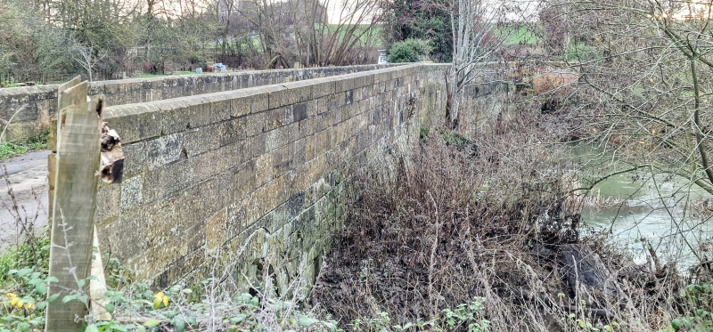
Bridge. Medieval with later repairs. Limestone ashlar. 4 pointed arches with brick repairs. Stone parapet and coping. Brick part of bridge to right has moulded stone coping. The scene of a civil war skirmish in 1645. Further detached span to left (q.v.). (V.C.H.: Warwickshire, Vol.V, p.303).
Listing NGR: SP2590345322


Other nearby listed buildings