Latitude: 51.5479 / 51°32'52"N
Longitude: -0.0878 / 0°5'15"W
OS Eastings: 532688
OS Northings: 184955
OS Grid: TQ326849
Mapcode National: GBR HD.0KC
Mapcode Global: VHGQT.FCG7
Plus Code: 9C3XGWX6+5V
Entry Name: 16A, St Paul's Place
Listing Date: 29 September 1972
Last Amended: 30 September 1994
Grade: II
Source: Historic England
Source ID: 1297970
English Heritage Legacy ID: 369315
ID on this website: 101297970
Location: Canonbury, Islington, London, N1
County: London
District: Islington
Electoral Ward/Division: Mildmay
Parish: Non Civil Parish
Built-Up Area: Islington
Traditional County: Middlesex
Lieutenancy Area (Ceremonial County): Greater London
Church of England Parish: Mildmay Grove St Jude
Church of England Diocese: London
Tagged with: Building
ISLINGTON
TQ3284NE ST PAUL'S PLACE 635-1/48/814 (East side) 29/09/72 No.16A (Formerly Listed as: ST PAUL'S GROVE Nos.16 1/2)
GV II
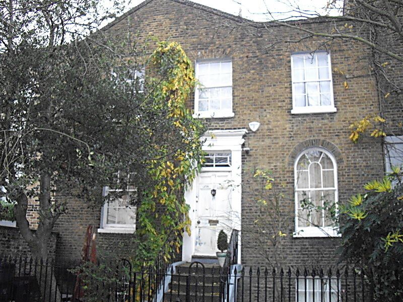
Single house. 1836-7. Yellow brick set in Flemish bond, stucco, roof of slate. Two storeys over basement, three bays wide. Basement partly stuccoed. Steps up to central entrance flanked by stucco pilasters carrying entablature, panelled door and original glazed overlight. Ground-floor windows round-arched with gauged-brick heads and apparently original glazing bars. First floor windows flat-arched with gauged-brick heads and apparently original glazing bars. Parapet, the north part gabled, suggesting the possible refronting of an existing building; side stack. Included for group value. (Eric Willatts: Streets with a story. The book of Islington: London: 1986-).
Listing NGR: TQ3268884955
External links are from the relevant listing authority and, where applicable, Wikidata. Wikidata IDs may be related buildings as well as this specific building. If you want to add or update a link, you will need to do so by editing the Wikidata entry.


Other nearby listed buildings