Latitude: 53.0527 / 53°3'9"N
Longitude: -2.0329 / 2°1'58"W
OS Eastings: 397892
OS Northings: 350604
OS Grid: SJ978506
Mapcode National: GBR 258.NVJ
Mapcode Global: WHBCP.RJ4L
Plus Code: 9C5V3X38+3R
Entry Name: The Woodlands
Listing Date: 15 December 1986
Grade: II
Source: Historic England
Source ID: 1294584
English Heritage Legacy ID: 274564
ID on this website: 101294584
Location: Staffordshire Moorlands, Staffordshire, ST13
County: Staffordshire
District: Staffordshire Moorlands
Civil Parish: Cheddleton
Traditional County: Staffordshire
Lieutenancy Area (Ceremonial County): Staffordshire
Church of England Parish: Wetley Rocks St John the Baptist
Church of England Diocese: Lichfield
Tagged with: Architectural structure
CHEDDLETON C.P. FELTHOUSE LANE SJ 95 SE 5/74 The Woodlands -
- II
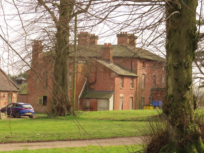
Large farmhouse. Early C19, minor C20 alterations. Painted brickwork; low-pitched widely-eaved hipped tile (formerly slate) roof; centre stacks, almost square main block. 3-storey, 3-window front, pilaster piers at angles; glazing bar sashes with gauged heads and of reduced height to top floor; central, later C19 single-storey flat-roofed projecting porch, round-arch entrance with keystone, set in dentilled recess in front of porch; part-glazed door. Lower 2-window, 2-storey wing to left.
Listing NGR: SJ9789250604
External links are from the relevant listing authority and, where applicable, Wikidata. Wikidata IDs may be related buildings as well as this specific building. If you want to add or update a link, you will need to do so by editing the Wikidata entry.


Other nearby listed buildings