Latitude: 52.3649 / 52°21'53"N
Longitude: -2.7106 / 2°42'38"W
OS Eastings: 351708
OS Northings: 274331
OS Grid: SO517743
Mapcode National: GBR BL.S1CP
Mapcode Global: VH843.YTVF
Plus Code: 9C4V977Q+XQ
Entry Name: 47, Temeside
Listing Date: 15 March 1974
Grade: II
Source: Historic England
Source ID: 1289703
English Heritage Legacy ID: 390109
ID on this website: 101289703
LUDLOW
SO5174 TEMESIDE 825-1/3/473 No.47 15/03/74
II
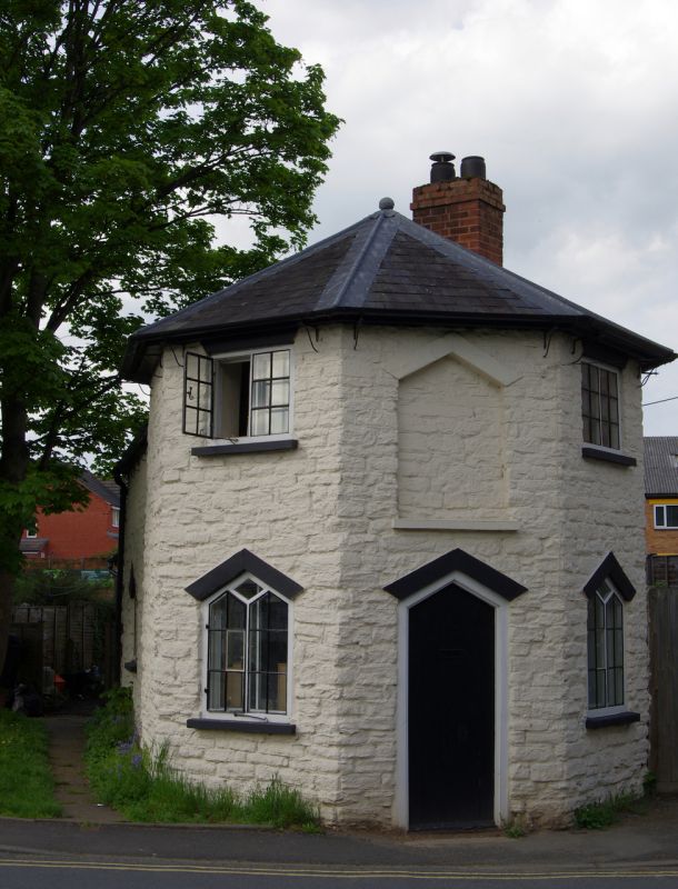
Toll house. Early C19. Rubble; Welsh slate pointed roof with wood finial; brick stack to rear. Octagonal plan with wing to rear. 2-storeys; 2-window range: 2-light metal casements, flanking toll-board recess. Central C20 plywood door, under simple metal hood on wrought-iron brackets; flanked by two 2-light windows with pointed heads, that to left with metal casement. 2-piece stone span-arch lintels. Single-storey wing to rear has similar casement, with simple metal casement under brick segmental arch to rear gable; rubble outshut.
Listing NGR: SO5170874331
External links are from the relevant listing authority and, where applicable, Wikidata. Wikidata IDs may be related buildings as well as this specific building. If you want to add or update a link, you will need to do so by editing the Wikidata entry.


Other nearby listed buildings