Latitude: 54.3625 / 54°21'45"N
Longitude: -2.773 / 2°46'22"W
OS Eastings: 349870
OS Northings: 496609
OS Grid: SD498966
Mapcode National: GBR 9K2Z.GX
Mapcode Global: WH82P.CLSZ
Plus Code: 9C6V967G+2R
Entry Name: Bowston Bridge
Listing Date: 12 February 1962
Grade: II
Source: Historic England
Source ID: 1289250
English Heritage Legacy ID: 76420
ID on this website: 101289250
Location: Bowston, Westmorland and Furness, Cumbria, LA8
County: Westmorland and Furness
District: South Lakeland
Civil Parish: Strickland Roger
Traditional County: Westmorland
Lieutenancy Area (Ceremonial County): Cumbria
Church of England Parish: Burneside St Oswald
Church of England Diocese: Carlisle
Tagged with: Bridge
SD 49 NE STRICKLAND KETEL BOWSTON
5/37 Bowston Bridge 12.2.62
II
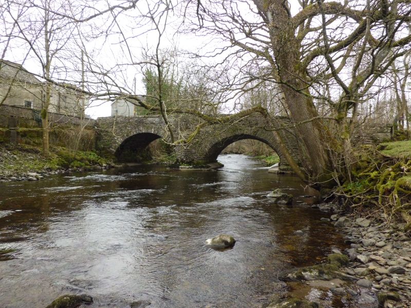
Bridge, probably C17, later widened on North side. Roughly coursed rubble with protruding through stones, stone copings and voussoirs. 2 arches with central pier and cutwaters to both upstream and downstream sides. Landscape value. See also RCHM p.220.
Listing NGR: SD4987096609
External links are from the relevant listing authority and, where applicable, Wikidata. Wikidata IDs may be related buildings as well as this specific building. If you want to add or update a link, you will need to do so by editing the Wikidata entry.


Other nearby listed buildings