Latitude: 52.4534 / 52°27'12"N
Longitude: -0.8754 / 0°52'31"W
OS Eastings: 476519
OS Northings: 284534
OS Grid: SP765845
Mapcode National: GBR BSS.1J9
Mapcode Global: VHDR0.SL2K
Plus Code: 9C4XF43F+9R
Entry Name: The Bridge
Listing Date: 31 January 1991
Grade: II
Source: Historic England
Source ID: 1289122
English Heritage Legacy ID: 397900
ID on this website: 101289122
Location: Braybrooke, North Northamptonshire, LE16
County: North Northamptonshire
Civil Parish: Braybrooke
Built-Up Area: Braybrooke
Traditional County: Northamptonshire
Lieutenancy Area (Ceremonial County): Northamptonshire
Church of England Parish: Braybrooke All Saints
Church of England Diocese: Peterborough
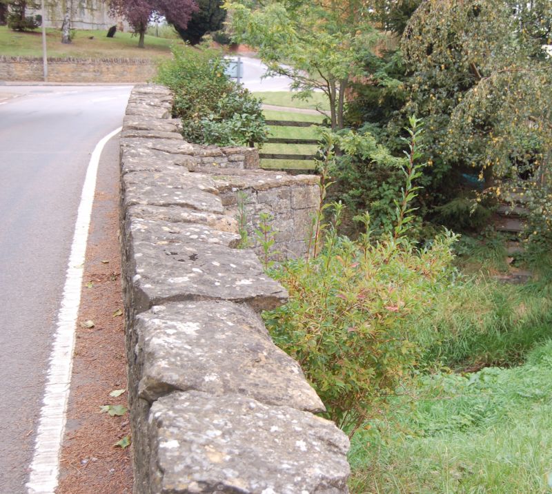
BRAYBROOKE DESBOROUGH ROAD SP 78 SE 2/1 The Bridge GV II Road Bridge. Built c 1400 for Sir Thomas Latimer. Parapets renewed C20. Squared ironstone with limestone dressings. East side has 2 chamfered pointed arches with 2 large cutwaters. Plain rubble parapets have rough slab copings.
Listing NGR: SP7651984534


Other nearby listed buildings