Latitude: 50.9588 / 50°57'31"N
Longitude: -0.5106 / 0°30'38"W
OS Eastings: 504701
OS Northings: 118766
OS Grid: TQ047187
Mapcode National: GBR GJ7.XBJ
Mapcode Global: FRA 96TK.WDJ
Plus Code: 9C2XXF5Q+GQ
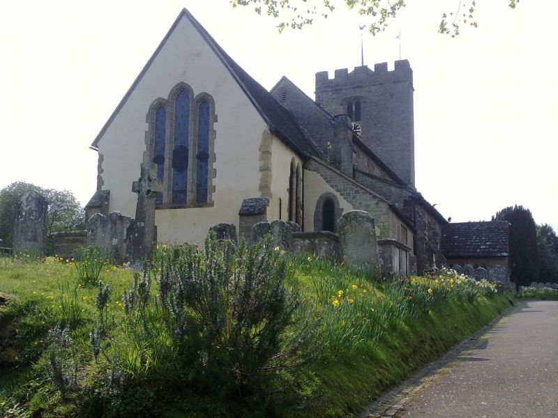
Entry Name: The Parish Church of St Mary
Listing Date: 15 March 1955
Last Amended: 9 May 1980
Grade: I
Source: Historic England
Source ID: 1286174
English Heritage Legacy ID: 298533
Also known as: St Mary, Pulborough
ID on this website: 101286174
Location: St Mary's Church, Pulborough, Horsham, West Sussex, RH20
County: West Sussex
District: Horsham
Civil Parish: Pulborough
Built-Up Area: West Chiltington Common
Traditional County: Sussex
Lieutenancy Area (Ceremonial County): West Sussex
Church of England Parish: Pulborough St Mary
Church of England Diocese: Chichester
Tagged with: Church building
PULBOROUGH CHURCH PLACE 1. 5404 The Parish Church of St Mary (Formerly listed under Upper Street) TQ 0418 17/687 15.3.55
I GV
2. Chancel C13-14, nave and tower C15. Chancel with north chapel, nave with aisles, north porch and west tower.
Listing NGR: TQ0469818769
External links are from the relevant listing authority and, where applicable, Wikidata. Wikidata IDs may be related buildings as well as this specific building. If you want to add or update a link, you will need to do so by editing the Wikidata entry.


Other nearby listed buildings