Latitude: 51.3672 / 51°22'1"N
Longitude: 1.3116 / 1°18'41"E
OS Eastings: 630611
OS Northings: 168328
OS Grid: TR306683
Mapcode National: GBR X02.8FB
Mapcode Global: VHLG5.PW8T
Plus Code: 9F339886+VM
Entry Name: Quex Farm Cottage
Listing Date: 22 February 1973
Grade: II
Source: Historic England
Source ID: 1281412
English Heritage Legacy ID: 356658
ID on this website: 101281412
Location: Birchington, Thanet, Kent, CT7
County: Kent
District: Thanet
Civil Parish: Birchington
Traditional County: Kent
Lieutenancy Area (Ceremonial County): Kent
Tagged with: Cottage
QUEX PARK 1. 1380 BIRCHINGTON-ON-SEA No 2 (Quex Farm Cottage) TR 36 NW 9/283
II GV
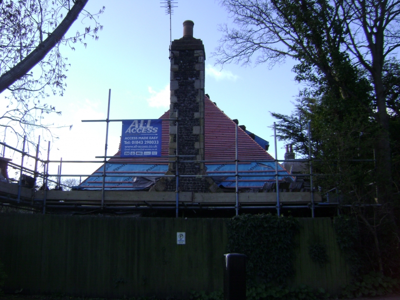
2. Dated 1611. 1 storey flint-faced with stone end quoins and brick window dressings. Very steep hipped tiled roof with 2 flint and stone stacks. 2 dormers, 2 altered mullioned and transomed windows. Central simple doorcase with wooden weatherhood on brackets and 4 panelled door. The rear elevation has 2 sashes. No 2 (Quex Farm Cottage) forms a group with Quex Farmhouse and Barn at Quex Farm
Listing NGR: TR3087668294
External links are from the relevant listing authority and, where applicable, Wikidata. Wikidata IDs may be related buildings as well as this specific building. If you want to add or update a link, you will need to do so by editing the Wikidata entry.


Other nearby listed buildings