Latitude: 53.3817 / 53°22'53"N
Longitude: -1.0627 / 1°3'45"W
OS Eastings: 462446
OS Northings: 387609
OS Grid: SK624876
Mapcode National: GBR PY0B.QH
Mapcode Global: WHFG0.N85D
Plus Code: 9C5W9WJP+MW
Entry Name: Nornay South Bridge
Listing Date: 27 November 1984
Grade: II
Source: Historic England
Source ID: 1279728
English Heritage Legacy ID: 241055
ID on this website: 101279728
Location: Nornay, Bassetlaw, Nottinghamshire, S81
County: Nottinghamshire
District: Bassetlaw
Civil Parish: Blyth
Traditional County: Nottinghamshire
Lieutenancy Area (Ceremonial County): Nottinghamshire
Church of England Parish: Blyth
Church of England Diocese: Southwell and Nottingham
Tagged with: Bridge
SK 68 NW BLYTH BAWTRY ROAD
2/27 Nornay South Bridge
G.V. II
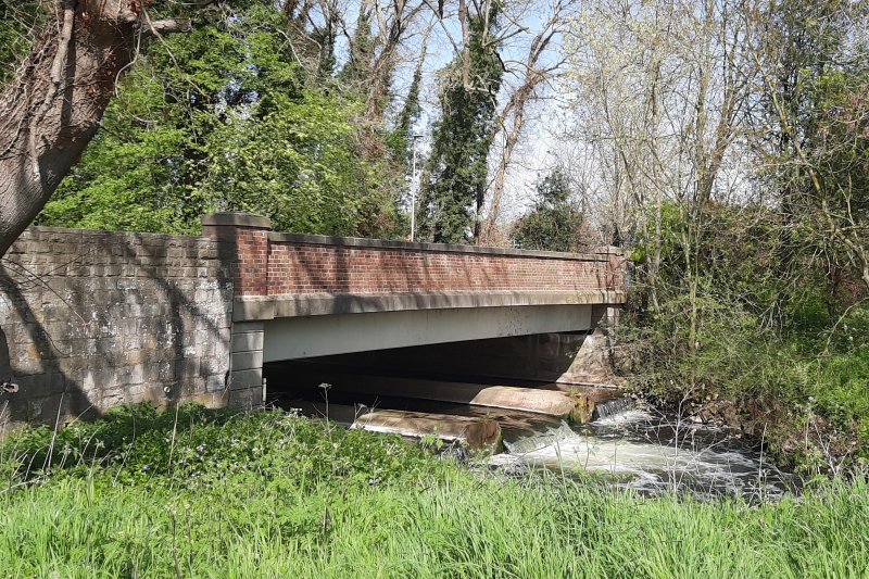
Bridge. Late C18. Ashlar. 2 small depressed arches with band at road level. The east side has a single cutwater, the west, with rusticated arches, has 3 rusticated cutwaters. The central one having 2 iron brackets, the northern one a single similar bracket with a wooden beam running between the two. The ashlar parapets terminate in single round piers.
Listing NGR: SK6244687609
External links are from the relevant listing authority and, where applicable, Wikidata. Wikidata IDs may be related buildings as well as this specific building. If you want to add or update a link, you will need to do so by editing the Wikidata entry.


Other nearby listed buildings