Latitude: 51.9925 / 51°59'32"N
Longitude: -0.9393 / 0°56'21"W
OS Eastings: 472925
OS Northings: 233199
OS Grid: SP729331
Mapcode National: GBR BZ9.3B4
Mapcode Global: VHDT9.N5SX
Plus Code: 9C3XX3R6+X7
Entry Name: Thornborough Bridge
Listing Date: 25 September 1951
Grade: I
Source: Historic England
Source ID: 1276995
English Heritage Legacy ID: 407713
ID on this website: 101276995
Location: Buckinghamshire, MK18
County: Buckinghamshire
Civil Parish: Thornborough
Traditional County: Buckinghamshire
Lieutenancy Area (Ceremonial County): Buckinghamshire
Church of England Parish: Thornborough
Church of England Diocese: Oxford
SP 73 SW THORNBOROUGH BUCKINGHAM ROAD
5/172 Thornborough Bridge
25/9/51
I
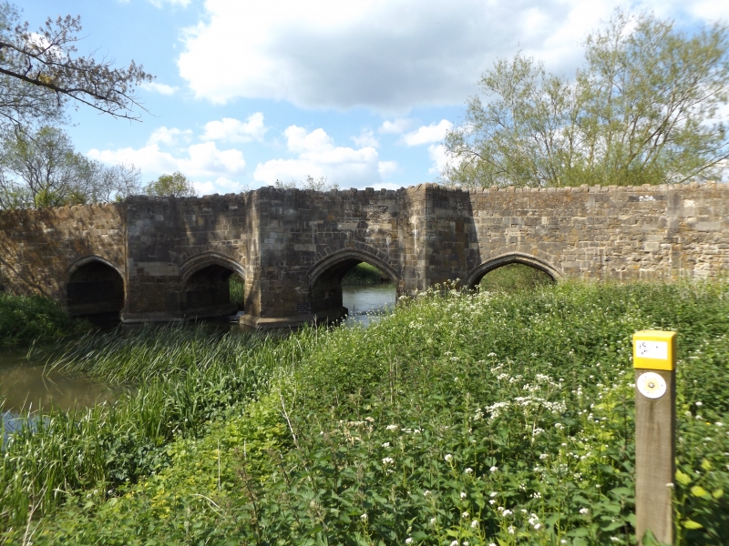
Bridge. C14. Coursed rubble and dressed stone, blue brick and cement
repairs to piers, irregular stone coping to parapet. Six 4-centred
arches : outer arches chamfered, penultimate arches chamfered with
hood-moulds, two central arches hollow chamfered with hood-moulds.
Three cut waters to S. carried up through parapet as passing places.
N. side has one square passing place with inscription tablet and
shields carved on pier below.
Listing NGR: SP7292533199


Other nearby listed buildings