Latitude: 50.945 / 50°56'42"N
Longitude: -0.6815 / 0°40'53"W
OS Eastings: 492723
OS Northings: 117005
OS Grid: SU927170
Mapcode National: GBR FGW.NHW
Mapcode Global: FRA 96GM.29Z
Plus Code: 9C2XW8W9+29
Entry Name: The Woodman
Listing Date: 26 November 1987
Grade: II
Source: Historic England
Source ID: 1276892
English Heritage Legacy ID: 301792
ID on this website: 101276892
Location: Graffham, Chichester, West Sussex, GU28
County: West Sussex
District: Chichester
Civil Parish: Graffham
Built-Up Area: Graffham
Traditional County: Sussex
Lieutenancy Area (Ceremonial County): West Sussex
Church of England Parish: Graffham St Giles with Woolavington St Peter
Church of England Diocese: Chichester
Tagged with: Architectural structure
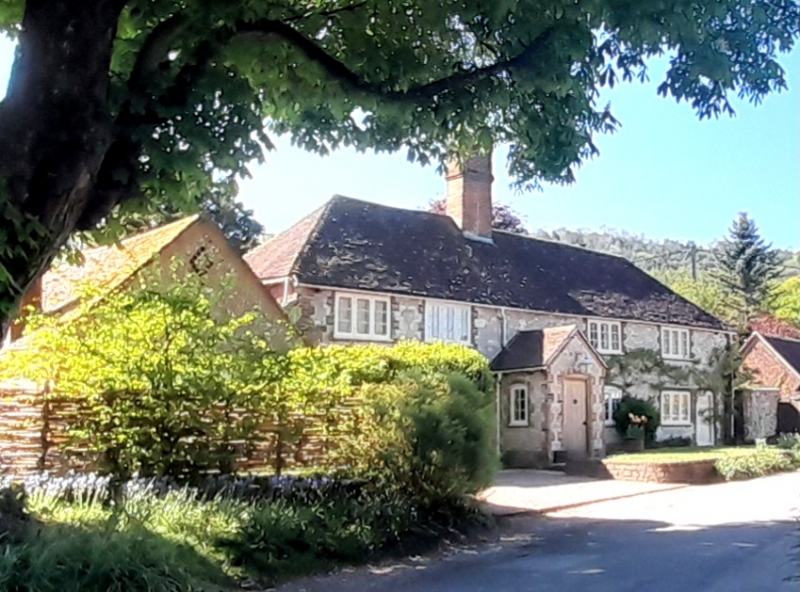
SU 91 NW GRAFFHAM THE STREET 18/18 The Woodman GV II House. Formerly listed as The Woodman Inn. C18. Clunch with red brick dressings. Hipped tiled roof. Casement windows. Modern porch. Two storeys. Five windows.
Listing NGR: SU9272317005
External links are from the relevant listing authority and, where applicable, Wikidata. Wikidata IDs may be related buildings as well as this specific building. If you want to add or update a link, you will need to do so by editing the Wikidata entry.


Other nearby listed buildings