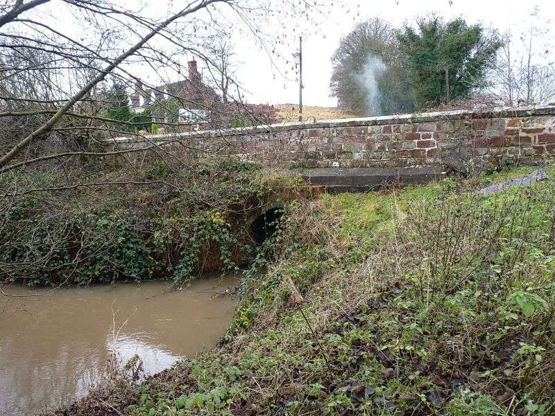
Latitude: 52.6276 / 52°37'39"N
Longitude: -2.3665 / 2°21'59"W
OS Eastings: 375288
OS Northings: 303373
OS Grid: SJ752033
Mapcode National: GBR 07D.8HP
Mapcode Global: WH9DJ.M69Z
Plus Code: 9C4VJJHM+29
Entry Name: Oldforge Bridge
Listing Date: 26 September 1984
Grade: II
Source: Historic England
Source ID: 1273721
English Heritage Legacy ID: 417336
ID on this website: 101273721
Location: Ryton, Shropshire, TF11
County: Shropshire
Civil Parish: Ryton
Traditional County: Shropshire
Lieutenancy Area (Ceremonial County): Shropshire
Church of England Parish: Ryton St Andrew
Church of England Diocese: Lichfield


Other nearby listed buildings