Latitude: 52.1525 / 52°9'8"N
Longitude: 1.5954 / 1°35'43"E
OS Eastings: 646050
OS Northings: 256564
OS Grid: TM460565
Mapcode National: GBR Z06.25L
Mapcode Global: VHM83.L5S7
Plus Code: 9F435H2W+X5
Entry Name: Water Tower
Listing Date: 9 July 1996
Grade: II
Source: Historic England
Source ID: 1269722
English Heritage Legacy ID: 460477
ID on this website: 101269722
Location: Aldeburgh, East Suffolk, IP15
County: Suffolk
District: East Suffolk
Civil Parish: Aldeburgh
Built-Up Area: Aldeburgh
Traditional County: Suffolk
Lieutenancy Area (Ceremonial County): Suffolk
Church of England Parish: Aldeburgh St Peter and St Paul
Church of England Diocese: St.Edmundsbury and Ipswich
Tagged with: Water tower
ALDEBURGH
TM4656 PRIORS HILL ROAD 837-1/4/42 (South East side) Water Tower
II
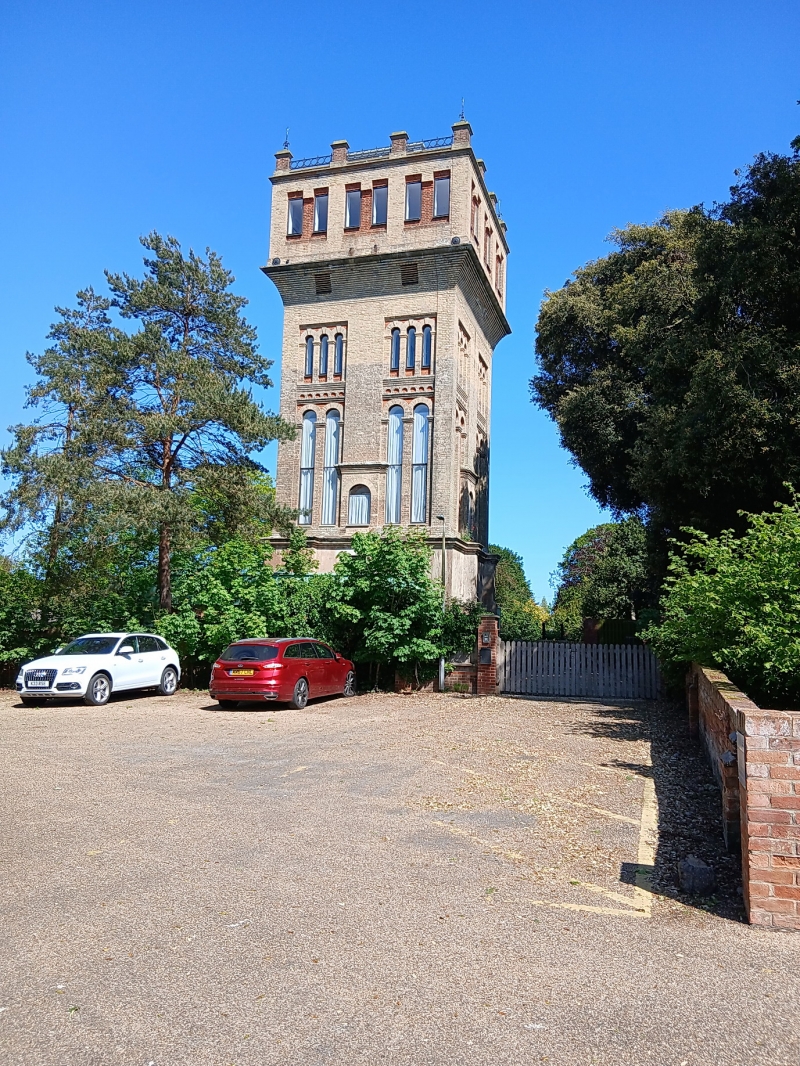
Water tower. 1870. For the municipal water works. Gault brick with red brick details; rendered basement: roof not visible. Square on plan. EXTERIOR: 4 storeys. First floor with 2 pairs of tall recessed blind arches with a lower round-arched recess between, that on west side containing a door reached by an external ladder staircase. Corbelled brick courses below second floor which has 2 groups of 3 arcaded round arches set in square headed recess, some arches blind, some pierced by casements. Top storey with water tank on brick corbelling and 3 blind recessed panels to each side. Crenellated parapet. INTERIOR: not inspected.
Listing NGR: TM4605056564
External links are from the relevant listing authority and, where applicable, Wikidata. Wikidata IDs may be related buildings as well as this specific building. If you want to add or update a link, you will need to do so by editing the Wikidata entry.


Other nearby listed buildings