Latitude: 51.4844 / 51°29'3"N
Longitude: -0.3025 / 0°18'9"W
OS Eastings: 517962
OS Northings: 177531
OS Grid: TQ179775
Mapcode National: GBR 7Z.6D2
Mapcode Global: VHGQW.PYXD
Plus Code: 9C3XFMMW+QX
Entry Name: 60, High Street
Listing Date: 15 September 1987
Grade: II*
Source: Historic England
Source ID: 1260833
English Heritage Legacy ID: 439386
ID on this website: 101260833
Location: Brentford, Hounslow, London, TW8
County: London
District: Hounslow
Electoral Ward/Division: Syon
Parish: Non Civil Parish
Built-Up Area: Hounslow
Traditional County: Middlesex
Lieutenancy Area (Ceremonial County): Greater London
Church of England Parish: Brentford St Paul
Church of England Diocese: London
Tagged with: Building
The following building shall be added:
HIGH STREET, BRENTFORD 1. 4419 No. 60 TQ 1777 NE 14/119 II*
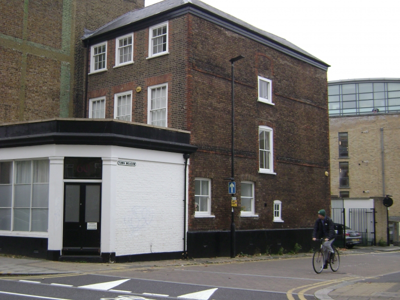
2. House. Early C18, altered. Brown brick; red brick dressings. Red tiled hipped roof to eaves. 3 storeys. 3 bays wide. C19 extension to front, with pilastered corner entrance and plate glass window. Original front wall nevertheless retained. Square, gauged headed windows, sashed with glazing bars to first floor. C20 windows to second floor. Interior retains original panelling exposed to all rooms except to ground floor front, original fire surrounds; original cornices. Original, open well staircase with turned and twisted balusters (many missing above first floor) and carved tread ends. A remarkably complete survival.
Listing NGR: TQ1422675890
External links are from the relevant listing authority and, where applicable, Wikidata. Wikidata IDs may be related buildings as well as this specific building. If you want to add or update a link, you will need to do so by editing the Wikidata entry.


Other nearby listed buildings