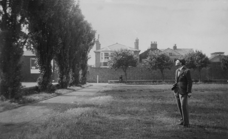
Latitude: 51.4413 / 51°26'28"N
Longitude: 0.7605 / 0°45'37"E
OS Eastings: 591945
OS Northings: 174982
OS Grid: TQ919749
Mapcode National: GBR RS2.F4C
Mapcode Global: VHKJ7.41DF
Plus Code: 9F32CQR6+G6
Entry Name: Beach House
Listing Date: 30 June 1978
Grade: II
Source: Historic England
Source ID: 1259822
English Heritage Legacy ID: 443867
ID on this website: 101259822
Location: Sheerness, Swale, Kent, ME12
County: Kent
District: Swale
Electoral Ward/Division: Sheerness
Parish: Sheerness
Built-Up Area: Sheerness
Traditional County: Kent
Lieutenancy Area (Ceremonial County): Kent
Tagged with: House
BEACH STREET 1. 5282 (North-West Side) Mile Town, Sheerness Beach House TQ 9174 NE 8/2
II 2. Early C19. 2 storeys stock brick. Hipped slate roof. 2 sashes and 1 blank with glazing bars intact and Venetian shutters. Central round-headed doorcase with keystone, pilasters, panelled reveals and semi-circular fanlight. The rear elevation has 2 later 3-light canted bays through all floors.
Listing NGR: TQ9194574982
External links are from the relevant listing authority and, where applicable, Wikidata. Wikidata IDs may be related buildings as well as this specific building. If you want to add or update a link, you will need to do so by editing the Wikidata entry.


Other nearby listed buildings