Latitude: 53.4074 / 53°24'26"N
Longitude: -2.7618 / 2°45'42"W
OS Eastings: 349452
OS Northings: 390340
OS Grid: SJ494903
Mapcode National: GBR 9Y41.W7
Mapcode Global: WH87B.KM24
Plus Code: 9C5VC64Q+X7
Entry Name: Cross
Listing Date: 28 January 1971
Grade: II
Source: Historic England
Source ID: 1253243
English Heritage Legacy ID: 436401
ID on this website: 101253243
Location: Rainhill, St. Helens, Merseyside, L35
County: St. Helens
Civil Parish: Rainhill
Built-Up Area: Prescot
Traditional County: Lancashire
Lieutenancy Area (Ceremonial County): Merseyside
Church of England Parish: Rainhill St Ann
Church of England Diocese: Liverpool
Tagged with: Monumental cross
1. 2487 RAINHILL RAINHILL Mill Lane
Cross SJ 49 SE 7/39
II
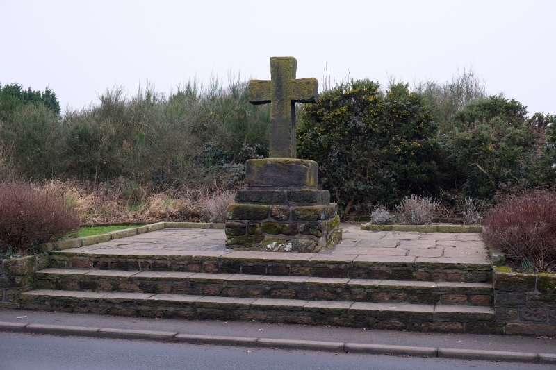
2. Old stepped stone base surmounted by modern stone cross.
Listing NGR: SJ4945290340
External links are from the relevant listing authority and, where applicable, Wikidata. Wikidata IDs may be related buildings as well as this specific building. If you want to add or update a link, you will need to do so by editing the Wikidata entry.


Other nearby listed buildings