Latitude: 53.4017 / 53°24'6"N
Longitude: -2.0542 / 2°3'15"W
OS Eastings: 396495
OS Northings: 389429
OS Grid: SJ964894
Mapcode National: GBR GY33.29
Mapcode Global: WHB9Y.FR1K
Plus Code: 9C5VCW2W+M8
Entry Name: Marple Bridge
Listing Date: 20 December 1967
Grade: II
Source: Historic England
Source ID: 1241824
English Heritage Legacy ID: 441063
ID on this website: 101241824
Location: Marple Bridge, Stockport, Greater Manchester, SK6
County: Stockport
Electoral Ward/Division: Marple North
Parish: Non Civil Parish
Traditional County: Derbyshire
Lieutenancy Area (Ceremonial County): Greater Manchester
Church of England Parish: Low Marple St Martin
Church of England Diocese: Chester
Tagged with: Road bridge
SJ 98 NE MARPLE BRABYNS BROW
7/54 Marple Bridge 20.12.67
G.V. II
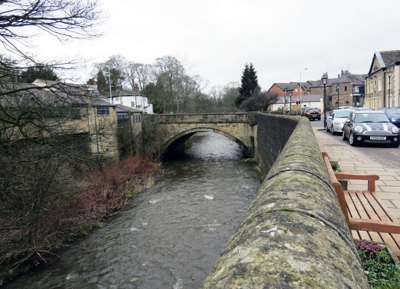
Bridge. C19 but widened in 1930 s. Dressed stone. One large segmental arch which was widened to the north. Segmental arch and band, plain parapet with band, chamfered coping and square terminating piers. North widened to a similar design in ashlar and concrete.
Listing NGR: SJ9649589429
External links are from the relevant listing authority and, where applicable, Wikidata. Wikidata IDs may be related buildings as well as this specific building. If you want to add or update a link, you will need to do so by editing the Wikidata entry.


Other nearby listed buildings