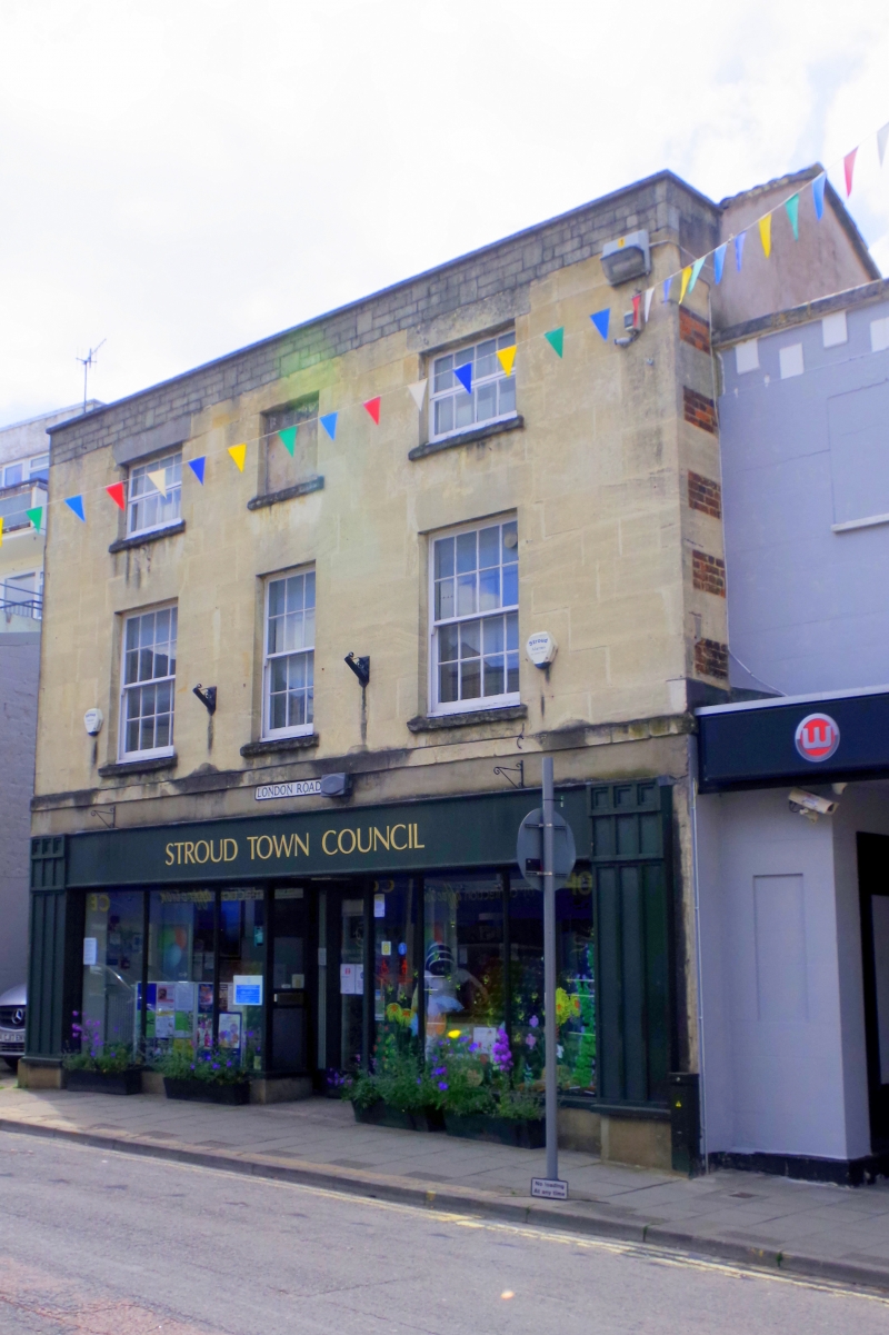
Latitude: 51.7442 / 51°44'38"N
Longitude: -2.2171 / 2°13'1"W
OS Eastings: 385106
OS Northings: 205072
OS Grid: SO851050
Mapcode National: GBR 1MK.Q7T
Mapcode Global: VH94Y.JF88
Plus Code: 9C3VPQVM+M5
Entry Name: 58, London Road
Listing Date: 25 June 1974
Grade: II
Source: Historic England
Source ID: 1239619
English Heritage Legacy ID: 417587
ID on this website: 101239619
Location: Stroud, Gloucestershire, GL5
County: Gloucestershire
District: Stroud
Civil Parish: Stroud
Built-Up Area: Stroud
Traditional County: Gloucestershire
Lieutenancy Area (Ceremonial County): Gloucestershire
Church of England Parish: Stroud St Laurence
Church of England Diocese: Gloucester
Tagged with: Building
1. LONDON ROAD
5227 (South West Side) No 58 SO 8505 5/356 II 2. Late C18. Ashlar. 3 storeys and blocking course. Stringcourse above ground floor. 3 ranges of double-hung sash windows with glazing bars on lst and 2nd floors. Modern shopfront.
Listing NGR: SO8510605072
External links are from the relevant listing authority and, where applicable, Wikidata. Wikidata IDs may be related buildings as well as this specific building. If you want to add or update a link, you will need to do so by editing the Wikidata entry.


Other nearby listed buildings