Latitude: 50.8135 / 50°48'48"N
Longitude: -0.4477 / 0°26'51"W
OS Eastings: 509455
OS Northings: 102701
OS Grid: TQ094027
Mapcode National: GBR GL2.TWW
Mapcode Global: FRA 96YY.9DW
Plus Code: 9C2XRH72+CW
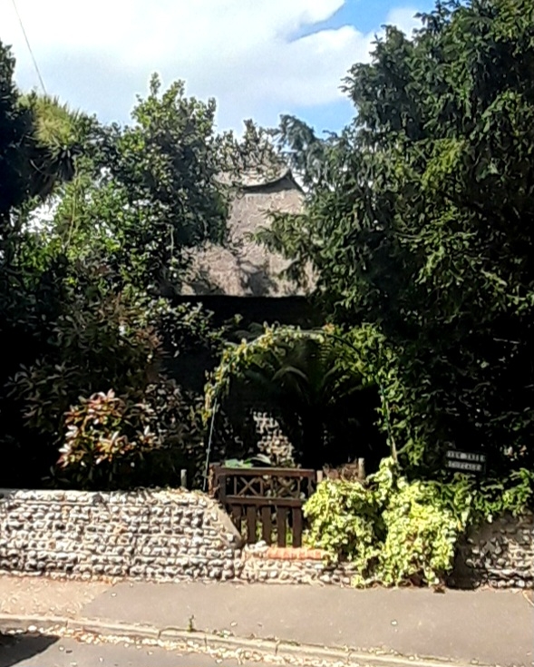
Entry Name: Yew Tree Cottage
Listing Date: 20 September 1984
Grade: II
Source: Historic England
Source ID: 1233837
English Heritage Legacy ID: 297881
ID on this website: 101233837
Location: Ferring, Arun, West Sussex, BN12
County: West Sussex
District: Arun
Civil Parish: Ferring
Built-Up Area: Worthing
Traditional County: Sussex
Lieutenancy Area (Ceremonial County): West Sussex
Church of England Parish: Ferring St Andrew
Church of England Diocese: Chichester
Tagged with: Cottage Thatched cottage
TQ 0802 FERRING FERRING STREET 28/119 No 11 (Yew Tree Cottage)
II
C18. One storey. Two windows. Faced with cobbles with red brick dressings and quoins. Hipped thatched roof. Casement windows.
Listing NGR: TQ0945202702
External links are from the relevant listing authority and, where applicable, Wikidata. Wikidata IDs may be related buildings as well as this specific building. If you want to add or update a link, you will need to do so by editing the Wikidata entry.


Other nearby listed buildings