Latitude: 51.1371 / 51°8'13"N
Longitude: 1.003 / 1°0'10"E
OS Eastings: 610176
OS Northings: 141822
OS Grid: TR101418
Mapcode National: GBR SYD.NDD
Mapcode Global: VHKKQ.BPL5
Plus Code: 9F3342P3+R5
Entry Name: Hill View
Listing Date: 16 February 1989
Grade: II
Source: Historic England
Source ID: 1232894
English Heritage Legacy ID: 408195
ID on this website: 101232894
Location: Brabourne, Ashford, Kent, TN25
County: Kent
District: Ashford
Civil Parish: Brabourne
Traditional County: Kent
Lieutenancy Area (Ceremonial County): Kent
Tagged with: Building
TR 14 SW BRABOURNE THE STREET (south side)
5/34 Nos. 1 and 2 Hill View
GV II
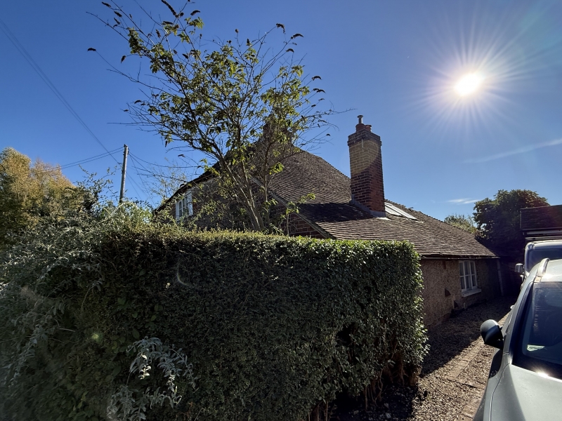
House pair. C16, altered C18. Timber framed and clad with red and blue brick with plain tiled roof. Two storeys to hipped roof with central stack cluster. One wooden casement on first floor. Segmentally headed glazing bar sash to left and boarded door on ground floor. Metal casement to left in C20 outshot. Segmentally headed wooden casement to right in C19 outshot. The road front is actually the return front of a timber framed house with continuous outshot to the rear elevation (to right).
Listing NGR: TR1017641822
External links are from the relevant listing authority and, where applicable, Wikidata. Wikidata IDs may be related buildings as well as this specific building. If you want to add or update a link, you will need to do so by editing the Wikidata entry.


Other nearby listed buildings