Latitude: 51.4768 / 51°28'36"N
Longitude: -2.4527 / 2°27'9"W
OS Eastings: 368653
OS Northings: 175416
OS Grid: ST686754
Mapcode National: GBR JX.L3R0
Mapcode Global: VH88Q.F4PP
Plus Code: 9C3VFGGW+PW
Entry Name: The Grange
Listing Date: 15 July 1981
Grade: II
Source: Historic England
Source ID: 1231533
English Heritage Legacy ID: 406665
ID on this website: 101231533
Location: Siston, South Gloucestershire, BS16
County: South Gloucestershire
Civil Parish: Siston
Traditional County: Gloucestershire
Lieutenancy Area (Ceremonial County): Gloucestershire
Church of England Parish: Syston
Church of England Diocese: Bristol
Tagged with: Building
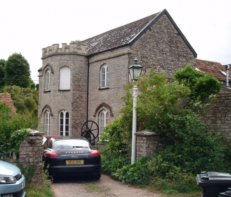
1. 5118 SISTON SISTON VILLAGE The Grange ST 67 NE 2/225 II GV 2. Former Nurserymans cottage, close to Siston Court. Circa 1830s. Gothick. Two storeys, coursed lias rubble. Weathered plinth, heavy astragal band below eaves. Pantile roof. Three windows, central canted 2 storey crenellated bay of 3-lights, arched windows, sub-divided and with quatrefoil head lights, casements; drips to ground floor openings except for side windows of bay; drip to first floor centre window of bay. The door is in a crenellated single-storey extension to right, 4 moulded panels, arched transom light.
Listing NGR: ST6865375416
External links are from the relevant listing authority and, where applicable, Wikidata. Wikidata IDs may be related buildings as well as this specific building. If you want to add or update a link, you will need to do so by editing the Wikidata entry.


Other nearby listed buildings