Latitude: 50.7247 / 50°43'28"N
Longitude: -2.9336 / 2°56'0"W
OS Eastings: 334196
OS Northings: 92091
OS Grid: SY341920
Mapcode National: GBR PJ.CZHY
Mapcode Global: FRA 47R5.6Y5
Plus Code: 9C2VP3F8+VH
Entry Name: 64, Broad Street
Listing Date: 31 January 1974
Grade: II
Source: Historic England
Source ID: 1229203
English Heritage Legacy ID: 404006
ID on this website: 101229203
Location: Lyme Regis, Dorset, DT7
County: Dorset
Civil Parish: Lyme Regis
Built-Up Area: Lyme Regis
Traditional County: Dorset
Lieutenancy Area (Ceremonial County): Dorset
Church of England Parish: Lyme Regis St Michael the Archangel
Church of England Diocese: Salisbury
Tagged with: Building
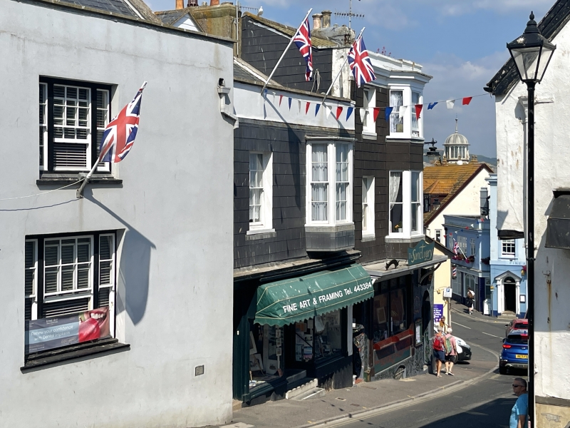
BROAD STREET 1. 1357 (North East Side) No 64 SY 3492 1/103 II GV 2. Cl9 front of 2 storeys, 2 window bays. Capped parapet. On 1st floor, sash window with glazing bars to left hand and a splayed bay with a sash window in each light to right hand. 2-panelled house door to left hand; 4 centre headed panels; 2-light rectangular fanlight.
Nos 45 to 65 (consec) form a group.
Listing NGR: SY3419692097
External links are from the relevant listing authority and, where applicable, Wikidata. Wikidata IDs may be related buildings as well as this specific building. If you want to add or update a link, you will need to do so by editing the Wikidata entry.


Other nearby listed buildings