Latitude: 53.5693 / 53°34'9"N
Longitude: -1.7888 / 1°47'19"W
OS Eastings: 414085
OS Northings: 408101
OS Grid: SE140081
Mapcode National: GBR HWY5.J6
Mapcode Global: WHCBF.HKF1
Plus Code: 9C5WH696+PF
Entry Name: Mile Post, Hollowgate Bridge
Listing Date: 4 August 1983
Grade: II
Source: Historic England
Source ID: 1227749
English Heritage Legacy ID: 340368
ID on this website: 101227749
Location: Holmfirth, Kirklees, West Yorkshire, HD9
County: Kirklees
Civil Parish: Holme Valley
Built-Up Area: Holmfirth
Traditional County: Yorkshire
Lieutenancy Area (Ceremonial County): West Yorkshire
Church of England Parish: Upperthong St John the Evangelist
Church of England Diocese: Leeds
Tagged with: Milestone
SE 1408 HOLLOWGATE 12/141 (Holmfirthh
Mile Post,Hollowgate Bridge
II
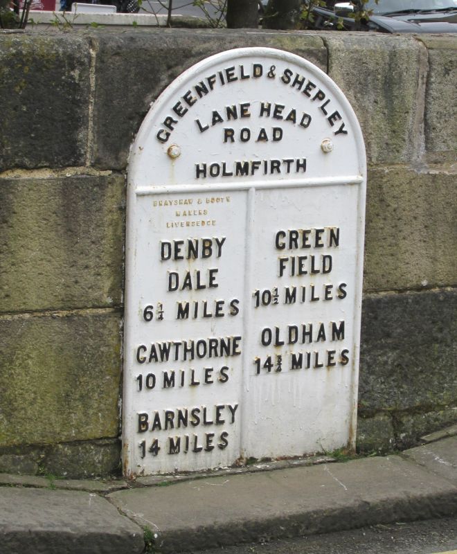
Mile post. Mid-late C19. Flat cast iron front with rounded top. Reads: GREENFIELD & SHEPLEY LAND HEAD ROAD HOLMFIRTH DENBY GREEN DALE FIELD 6½ MILES 10½ MILES CAWTHORNE OLDHAM 10 MILES 14¼ MILES BARNSLEY 14 MILES
Listing NGR: SE1408508101
External links are from the relevant listing authority and, where applicable, Wikidata. Wikidata IDs may be related buildings as well as this specific building. If you want to add or update a link, you will need to do so by editing the Wikidata entry.


Other nearby listed buildings