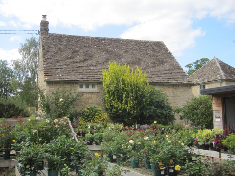
Latitude: 51.8088 / 51°48'31"N
Longitude: -1.6342 / 1°38'3"W
OS Eastings: 425314
OS Northings: 212298
OS Grid: SP253122
Mapcode National: GBR 5SW.FNP
Mapcode Global: VHBZS.MSDS
Plus Code: 9C3WR958+G8
Entry Name: Rose Cottage
Listing Date: 11 March 1976
Last Amended: 1 March 1990
Grade: II
Source: Historic England
Source ID: 1223722
English Heritage Legacy ID: 419541
ID on this website: 101223722
Location: Burford, West Oxfordshire, OX18
County: Oxfordshire
District: West Oxfordshire
Civil Parish: Burford
Built-Up Area: Burford
Traditional County: Oxfordshire
Lieutenancy Area (Ceremonial County): Oxfordshire
Church of England Parish: Burford
Church of England Diocese: Oxford
Tagged with: Cottage
BURFORD AND UPTON GUILDENFORD AND SIGNET (North Side) SP2512 (Enlargement) Rose Cottage 7/43 (previously listed as 11.3.76 in Church Lane).
GV II
Cottage. C17, remodelled C19 and modernised C20. Rubble with Cotswold stone roof, brick end chimney to South. 2 storeys; 2 windows. C20 casements. Central glazed porch with small window over. Interior remodelled.
Listing NGR: SP2531412298
External links are from the relevant listing authority and, where applicable, Wikidata. Wikidata IDs may be related buildings as well as this specific building. If you want to add or update a link, you will need to do so by editing the Wikidata entry.


Other nearby listed buildings