Latitude: 52.5863 / 52°35'10"N
Longitude: -2.3559 / 2°21'21"W
OS Eastings: 375985
OS Northings: 298786
OS Grid: SO759987
Mapcode National: GBR 07S.Z1M
Mapcode Global: WH9DQ.S8B2
Plus Code: 9C4VHJPV+GM
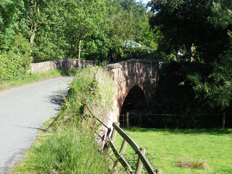
Entry Name: Stableford Bridge
Listing Date: 9 March 1970
Last Amended: 26 September 1984
Grade: II
Source: Historic England
Source ID: 1222320
English Heritage Legacy ID: 255152
ID on this website: 101222320
Location: Stableford, Shropshire, WV15
County: Shropshire
Civil Parish: Badger
Traditional County: Shropshire
Lieutenancy Area (Ceremonial County): Shropshire
Church of England Parish: Worfield
Church of England Diocese: Hereford
BADGER C.P.
SO 79 NE
7/63
MADELEY ROAD
Stableford Bridge
II
Bridge over River Worfe. C18. Sandstone ashlar. One wide segmental arch, flat string
course and plain parapets with moulded capping.
The asset was previously listed twice also at List entry 1053731. That entry was removed from the List on 17 March 2017.
This entry was subject to a Minor Amendment on 17 March 2017.


Other nearby listed buildings