Latitude: 50.7144 / 50°42'51"N
Longitude: -1.9873 / 1°59'14"W
OS Eastings: 400991
OS Northings: 90531
OS Grid: SZ009905
Mapcode National: GBR XQB.MG
Mapcode Global: FRA 67Q6.3L6
Plus Code: 9C2WP277+Q3
Entry Name: 33, Market Street
Listing Date: 22 June 1989
Grade: II
Source: Historic England
Source ID: 1217507
English Heritage Legacy ID: 412552
ID on this website: 101217507
Location: Old Town, Bournemouth, Christchurch and Poole, Dorset, BH15
County: Bournemouth, Christchurch and Poole
Parish: Poole
Built-Up Area: Poole
Traditional County: Dorset
Lieutenancy Area (Ceremonial County): Dorset
Church of England Parish: Poole St James with St Paul
Church of England Diocese: Salisbury
Tagged with: Building
POOLE
SZ0090NE MARKET STREET 958-1/15/103 (South East side) 22/06/89 No.33
GV II
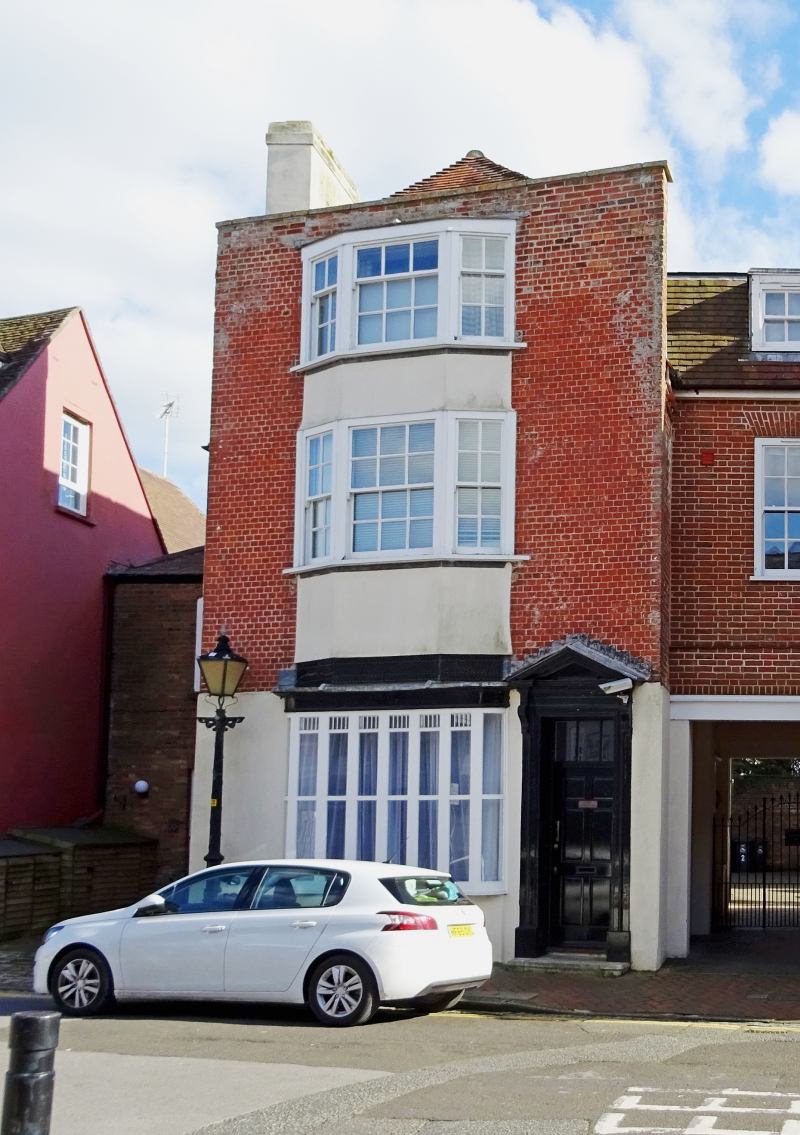
House and shop. C17, mostly now c1800, altered C19 and C20. Rendered brick C17 bay, painted header bond, Flemish bond brickwork rendered on left side, rendered left-hand lateral stack, tiled half-hipped mansard roof. Double-depth plan. 2 storeys and attic; 4-window range. Parapeted gable raised to front attic, with a right-hand doorway to a boarded half-glazed door, and a dentil cornice pediment. Full-height mid C20 shallow canted bay at centre over late C19 shop front with 8 transom lights, bowed side lights, corniced entablature and metal grille above; upper floors have C20 four-light casements. Hipped 2-light dormer. Right return has stepped eaves; left return has steps up to a central 6-panel door with wooden architrave and bracketed stone canopy. Inserted window to the left; flanking bays, the left with blocked windows, the right with cellar windows. Rear has gabled lower bay and a C20 outshut. INTERIOR: full-length cellar, earliest to rear with probable C17 fabric; early C20 glazed tiles to shop; dogleg stair of c1800, with closed string with stick balusters column newels and rail with spiral curtail. The C17 brick comprises an early example of its use in this area. (RCHME: County of Dorset (South East): London: 1970-: 230).
Listing NGR: SZ0099190531
External links are from the relevant listing authority and, where applicable, Wikidata. Wikidata IDs may be related buildings as well as this specific building. If you want to add or update a link, you will need to do so by editing the Wikidata entry.


Other nearby listed buildings