Latitude: 51 / 51°0'0"N
Longitude: -0.8493 / 0°50'57"W
OS Eastings: 480840
OS Northings: 122922
OS Grid: SU808229
Mapcode National: GBR CCF.83H
Mapcode Global: FRA 963G.NY6
Plus Code: 9C3X2522+27
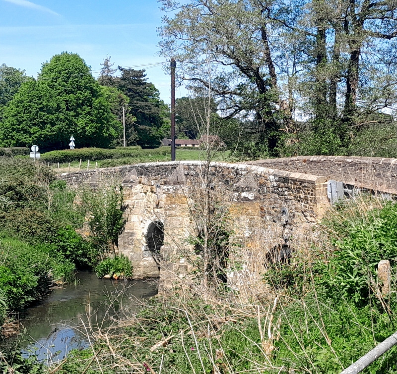
Entry Name: Habin Bridge
Listing Date: 18 June 1959
Grade: II
Source: Historic England
Source ID: 1217003
English Heritage Legacy ID: 411734
ID on this website: 101217003
Location: Habin, Chichester, West Sussex, GU31
County: West Sussex
District: Chichester
Civil Parish: Rogate
Traditional County: Sussex
Lieutenancy Area (Ceremonial County): West Sussex
Church of England Parish: Rogate St Bartholomew with Terwick St Peter
Church of England Diocese: Chichester
ROGATE HABIN ROAD
SU 8023, 8123
10/33 Habin Bridge
18.6.59
- II
Bridge. C17 or earlier, restored in the C18. Hythe sandstone. Four round-headed arches, ribbed on the south side. The north two have chamfered key blocks. Five V-
shaped cutwaters on west side, three rectangular ones on east side. Scheduled
Ancient Monument.
Listing NGR: SU8084022922


Other nearby listed buildings