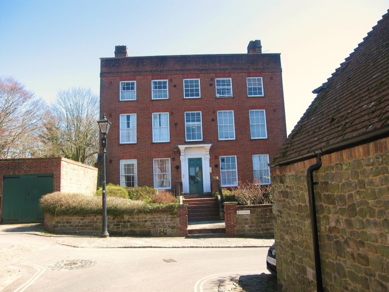
Latitude: 50.9863 / 50°59'10"N
Longitude: -0.7368 / 0°44'12"W
OS Eastings: 488760
OS Northings: 121525
OS Grid: SU887215
Mapcode National: GBR DF3.0JY
Mapcode Global: FRA 96BH.YJT
Plus Code: 9C2XX7P7+G7
Entry Name: St Ann's House
Listing Date: 26 November 1987
Grade: II
Source: Historic England
Source ID: 1216737
English Heritage Legacy ID: 411204
ID on this website: 101216737
Location: Midhurst, Chichester, West Sussex, GU29
County: West Sussex
District: Chichester
Civil Parish: Midhurst
Built-Up Area: Midhurst
Traditional County: Sussex
Lieutenancy Area (Ceremonial County): West Sussex
Church of England Parish: Midhurst St Mary Magdalene and St Denis
Church of England Diocese: Chichester
Tagged with: House
MIDHURST SHEEP LANE SU 8821 21/40 St Ann's House - - II
C18. Red brick. Parapet. Tiled roof. Glazing bars intact. Doorway at the head of stone steps with fluted pilasters, flat hood on brackets and door of six fielded panels 4 glazed. 2 storeys. 5 windows.
Listing NGR: SU8876021525
External links are from the relevant listing authority and, where applicable, Wikidata. Wikidata IDs may be related buildings as well as this specific building. If you want to add or update a link, you will need to do so by editing the Wikidata entry.


Other nearby listed buildings