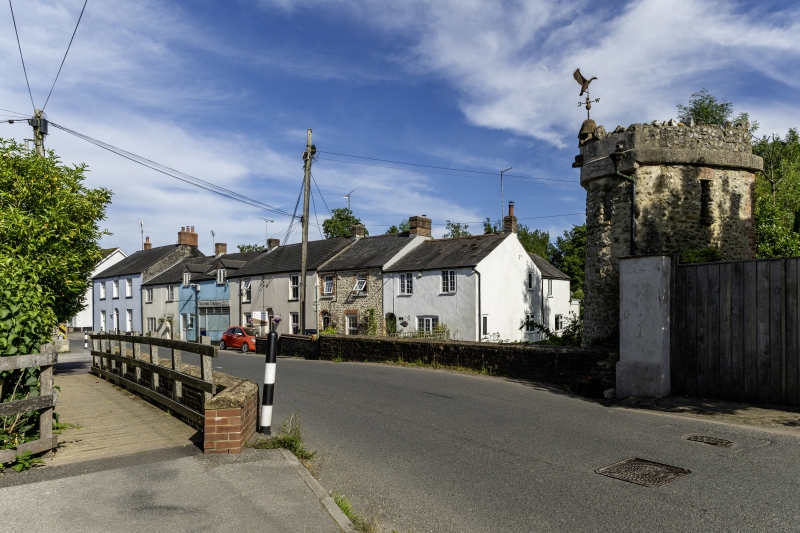
Latitude: 50.7773 / 50°46'38"N
Longitude: -2.574 / 2°34'26"W
OS Eastings: 359623
OS Northings: 97686
OS Grid: SY596976
Mapcode National: GBR PV.46XF
Mapcode Global: FRA 57H1.310
Plus Code: 9C2VQCGG+W9
Entry Name: Bridge over Mill Stream
Listing Date: 26 January 1956
Grade: II
Source: Historic England
Source ID: 1216301
English Heritage Legacy ID: 401642
ID on this website: 101216301
Location: Maiden Newton, Dorset, DT2
County: Dorset
Civil Parish: Maiden Newton
Built-Up Area: Maiden Newton
Traditional County: Dorset
Lieutenancy Area (Ceremonial County): Dorset
Church of England Parish: Maiden Newton and Valleys
Church of England Diocese: Salisbury
Tagged with: Bridge
MAIDEN NEWTON SY 5997 DORCHESTER ROAD
10/93 Bridge over Mill-Stream 26-1-56 GV II
Road-Bridge. Late C18. Stone piers with brickwork above, and chamfered stone parapet coping. 4 arches. Double-track. Upstream side has 3 stone cutwaters and original brickwork. Downstream side has projecting keystones, and no cutwaters.
Listing NGR: SY5962597684
External links are from the relevant listing authority and, where applicable, Wikidata. Wikidata IDs may be related buildings as well as this specific building. If you want to add or update a link, you will need to do so by editing the Wikidata entry.


Other nearby listed buildings