Latitude: 52.4561 / 52°27'22"N
Longitude: -1.2035 / 1°12'12"W
OS Eastings: 454221
OS Northings: 284540
OS Grid: SP542845
Mapcode National: GBR 8PH.VZX
Mapcode Global: VHCTD.3J3H
Plus Code: 9C4WFQ4W+FJ
Entry Name: Former Rectory
Listing Date: 30 September 1993
Grade: II
Source: Historic England
Source ID: 1211070
English Heritage Legacy ID: 392561
ID on this website: 101211070
Location: Lutterworth, Harborough, Leicestershire, LE17
County: Leicestershire
District: Harborough
Civil Parish: Lutterworth
Built-Up Area: Lutterworth
Traditional County: Leicestershire
Lieutenancy Area (Ceremonial County): Leicestershire
Church of England Parish: Lutterworth St Mary
Church of England Diocese: Leicester
Tagged with: Clergy house
This list entry was subject to a Minor Amendment on 14 May 2025 to update the Name and Address and reformat the text to current standards
SP5484
1323-0/9/68
LUTTERWORTH
CHURCH CLOSE
St Marys House
(Formerly listed as COVENTRY ROAD (South side) The Rectory)
II
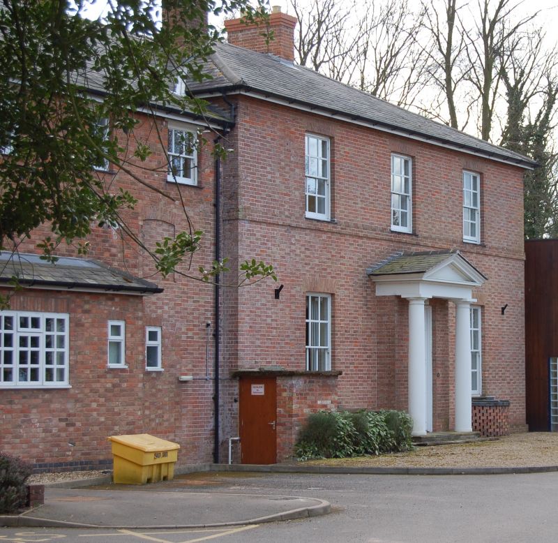
Rectory. 1803 by Samuel Wyatt. Red brick with pyramidal slate roof. Two storeys; boxed eaves and stack behind ridge to rear. Three window front with no window on ground floor to right, glazing bar sashes. Central panelled door in architrave surround with Doric-columned porch and triangular pediment over. Various wings of two storeys to left.
(The Buildings of England: Pevsner N, Williamson E, Brandwood G: Leicestershire and Rutland: London: 1984-: 302).
Listing NGR: SP5422184540
External links are from the relevant listing authority and, where applicable, Wikidata. Wikidata IDs may be related buildings as well as this specific building. If you want to add or update a link, you will need to do so by editing the Wikidata entry.


Other nearby listed buildings