Latitude: 51.2099 / 51°12'35"N
Longitude: -3.4807 / 3°28'50"W
OS Eastings: 296667
OS Northings: 146678
OS Grid: SS966466
Mapcode National: GBR LJ.421B
Mapcode Global: VH5JY.MV8B
Plus Code: 9C3R6G59+XP
Entry Name: Norman Cottage
Listing Date: 28 October 1976
Grade: II
Source: Historic England
Source ID: 1206975
English Heritage Legacy ID: 391161
ID on this website: 101206975
Location: Higher Town, Somerset, TA24
County: Somerset
District: Somerset West and Taunton
Civil Parish: Minehead
Built-Up Area: Minehead
Traditional County: Somerset
Lieutenancy Area (Ceremonial County): Somerset
Tagged with: Cottage
MINEHEAD
SS9646 CHURCH STREET 900-1/3/27 (West side) 28/10/76 No.13 Norman Cottage
GV II
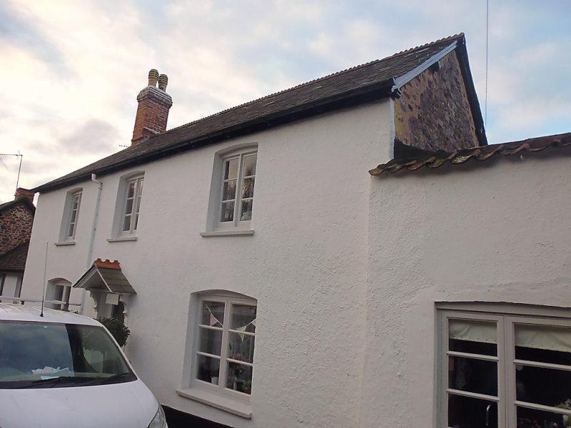
Shown as No.15 on OS map. House and workshops. C18, remodelled C19. Rubblestone, rendered and painted to the front, crested slate roof (formerly thatched) with brick stacks to left gable end and rear. 2-unit through-passage plan with service end to left of hall/kitchen with rear lateral stack; outshut to rear and C19 pantiled and C20 slated lean-to wings to the right. 2 storeys; symmetrical 3-window range. The central 6-panelled door glazed to the top is set between plain pilasters supporting shaped consoles and pediment. The 2-light casement windows have segmental arches. The front screen wall of the C19 lean-to has a parapet lower than the eaves with pantile coping, a C20 lean-to behind it completes the rectangle. The gable of the right return shows clearly that the height and pitch of the roof has been altered. INTERIOR: the central passage curves back to the left; axial beams and a former open fire with a timber lintel (now enclosed) to the rear right remain.
Listing NGR: SS9666746678
External links are from the relevant listing authority and, where applicable, Wikidata. Wikidata IDs may be related buildings as well as this specific building. If you want to add or update a link, you will need to do so by editing the Wikidata entry.


Other nearby listed buildings