Latitude: 50.4554 / 50°27'19"N
Longitude: -4.4627 / 4°27'45"W
OS Eastings: 225282
OS Northings: 64632
OS Grid: SX252646
Mapcode National: GBR NF.NRJZ
Mapcode Global: FRA 17JV.K6V
Plus Code: 9C2QFG4P+5W
Entry Name: 21, Lower Lux Street
Listing Date: 15 November 1993
Grade: II
Source: Historic England
Source ID: 1203182
English Heritage Legacy ID: 382212
ID on this website: 101203182
Location: Liskeard, Cornwall, PL14
County: Cornwall
Civil Parish: Liskeard
Built-Up Area: Liskeard
Traditional County: Cornwall
Lieutenancy Area (Ceremonial County): Cornwall
Church of England Parish: Liskeard
Church of England Diocese: Truro
Tagged with: Building
LISKEARD
SX2564 LOWER LUX STREET 979-1/5/129 (East side) No.21
GV II
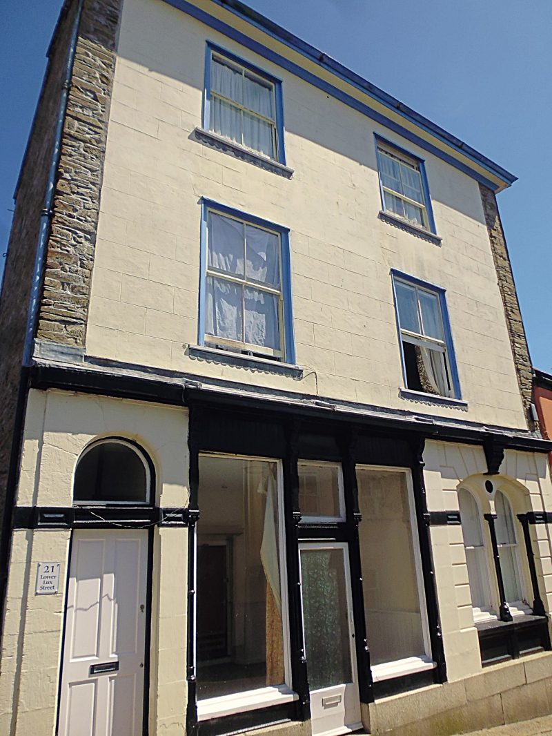
Shop with accommodation over. Mid/late C19. Incised render on studwork to front between rubble piers fronting end walls; dry Delabole slate roof with projecting eaves with moulded cornice to soffit. Double-depth plan. 3 storeys; 2-window range. Late C19 four-pane horned sashes within moulded wooden architraves. Ground floor has granite ashlar plinth; 2-light double shop front left of middle, with engaged columns flanking lights and central doorway with overlight; carved consoles to moulded fascia and projecting cornice; segmentally-headed 2-light window with round-arched lights and 2-pane hornless sashes also with engaged columns, on the right, within rusticated stucco frame with impost string; carved console as keyblock and moulded cornice; on the left is round-headed doorway also with impost string linked to transom under plain fanlight; door. INTERIOR not inspected.
Listing NGR: SX2528064629
External links are from the relevant listing authority and, where applicable, Wikidata. Wikidata IDs may be related buildings as well as this specific building. If you want to add or update a link, you will need to do so by editing the Wikidata entry.


Other nearby listed buildings