Latitude: 52.3662 / 52°21'58"N
Longitude: -2.7226 / 2°43'21"W
OS Eastings: 350895
OS Northings: 274481
OS Grid: SO508744
Mapcode National: GBR BK.S4DB
Mapcode Global: VH843.RSJG
Plus Code: 9C4V978G+FX
Entry Name: 16, Dinham
Listing Date: 28 October 1969
Grade: II
Source: Historic England
Source ID: 1202911
English Heritage Legacy ID: 389930
ID on this website: 101202911
LUDLOW
SO5074 DINHAM 825-1/1/300 No.16 28/10/69
GV II
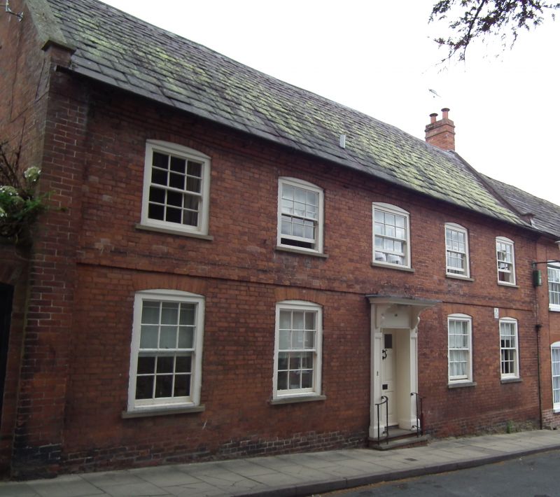
House. Early C19. Brick; graduated Welsh slate roof, with coped gable parapets; brick end stack. 2-storeys; 5-window range: central 6/6 sash flanked by narrower 6/6 sashes, all under segmental arches; brick modillion eaves. Central steps and handrails to part-glazed panelled door under moulded flat hood on consoles and moulded pilasters; flanked by pairs of 6/6 sashes under gauged brick segmental arches; storey band overall. All fenestration late C19 and later.
Listing NGR: SO5089774480
External links are from the relevant listing authority and, where applicable, Wikidata. Wikidata IDs may be related buildings as well as this specific building. If you want to add or update a link, you will need to do so by editing the Wikidata entry.


Other nearby listed buildings