Latitude: 50.3485 / 50°20'54"N
Longitude: -3.5777 / 3°34'39"W
OS Eastings: 287848
OS Northings: 51032
OS Grid: SX878510
Mapcode National: GBR QS.RJH2
Mapcode Global: FRA 38D3.VBL
Plus Code: 9C2R8CXC+9W
Entry Name: Quay Walls
Listing Date: 23 February 1994
Grade: II
Source: Historic England
Source ID: 1197533
English Heritage Legacy ID: 387169
ID on this website: 101197533
Location: Kingswear, South Hams, Devon, TQ6
County: Devon
District: South Hams
Civil Parish: Dartmouth
Built-Up Area: Dartmouth
Traditional County: Devon
Lieutenancy Area (Ceremonial County): Devon
Church of England Parish: Dartmouth Townstal
Church of England Diocese: Exeter
Tagged with: Sea wall
DARTMOUTH
SX874510 BAYARDS COVE 673-1/8/43 (East side) Quay walls
GV II
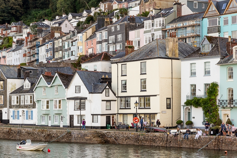
Quay walls. C15 and C16 with later repairs and alterations; extended southwards to connect with Bearscove Castle (qv) in 1839. Local limestone rubble with larger blocks as coping stones. Vertical stone retaining wall rises from the estuary to the old cobbled quayside, and extends from Bearscove Castle at the south end to a northern return as the platform for Island House, No.25 Lower Street (qv). It includes a flight of granite steps down to the estuary opposite No.7, Port View House (qv). This was the main quay until the building of the New Quay in the late C16; there was certainly a stone quay here by the C16. (Freeman, Ray: Dartmouth and its Neighbours: Phillimore: 1990-: P.54).
Listing NGR: SX8785351016
External links are from the relevant listing authority and, where applicable, Wikidata. Wikidata IDs may be related buildings as well as this specific building. If you want to add or update a link, you will need to do so by editing the Wikidata entry.


Other nearby listed buildings