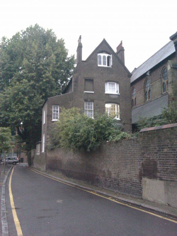
Latitude: 51.4868 / 51°29'12"N
Longitude: -0.1184 / 0°7'6"W
OS Eastings: 530739
OS Northings: 178102
OS Grid: TQ307781
Mapcode National: GBR KP.K6
Mapcode Global: VHGQZ.WWRM
Plus Code: 9C3XFVPJ+PJ
Entry Name: St Peter's Vicarage
Listing Date: 22 October 1974
Grade: II
Source: Historic England
Source ID: 1185568
English Heritage Legacy ID: 204313
Also known as: St Peter's Vicarage, Vauxhall
ID on this website: 101185568
Location: Vauxhall, Lambeth, London, SE11
County: London
District: Lambeth
Electoral Ward/Division: Prince's
Parish: Non Civil Parish
Built-Up Area: Lambeth
Traditional County: Surrey
Lieutenancy Area (Ceremonial County): Greater London
Church of England Parish: North Lambeth
Church of England Diocese: Southwark
Tagged with: Clergy house
KENNINGTON LANE SE11 1. (north side) 5023 No 308 (St Peter's Vicarage) TQ 3078 4/493 22.10.74
II GV
2. Late C18 house with alterations. Three storeys and basement, 2 windows in main block with 2-storey right entrance bay. Stock brick with stuccoed first floor cill band and thin cornice above which a tall Victorian gable, of stock brick with red brick decoration, has been added, containing a 3-light window under Tudor relieving arch. Other windows sashes under gauged flat brick arches, in round-arched recesses on ground floor. Original internal shutters. Four steps to door of 4 fielded and 2 beaded panels with thin columns and outer pilasters supporting wide cornice head under radial fanlight. Round-arched upper window probably a C19 addition. Said to have been the house of the manager of Vauxhall Gardens.
Listing NGR: TQ3073978102
External links are from the relevant listing authority and, where applicable, Wikidata. Wikidata IDs may be related buildings as well as this specific building. If you want to add or update a link, you will need to do so by editing the Wikidata entry.


Other nearby listed buildings