Latitude: 53.6 / 53°35'59"N
Longitude: -1.7163 / 1°42'58"W
OS Eastings: 418871
OS Northings: 411524
OS Grid: SE188115
Mapcode National: GBR JVGT.67
Mapcode Global: WHCB8.LSX2
Plus Code: 9C5WH7XM+XF
Entry Name: 3, Thunder Bridge Lane
Listing Date: 16 May 1984
Grade: II
Source: Historic England
Source ID: 1184027
English Heritage Legacy ID: 341224
ID on this website: 101184027
SE 11 SE THUNDER BRIDGE LANE Thunder Bridge 5/109 No. 3 G.V. II
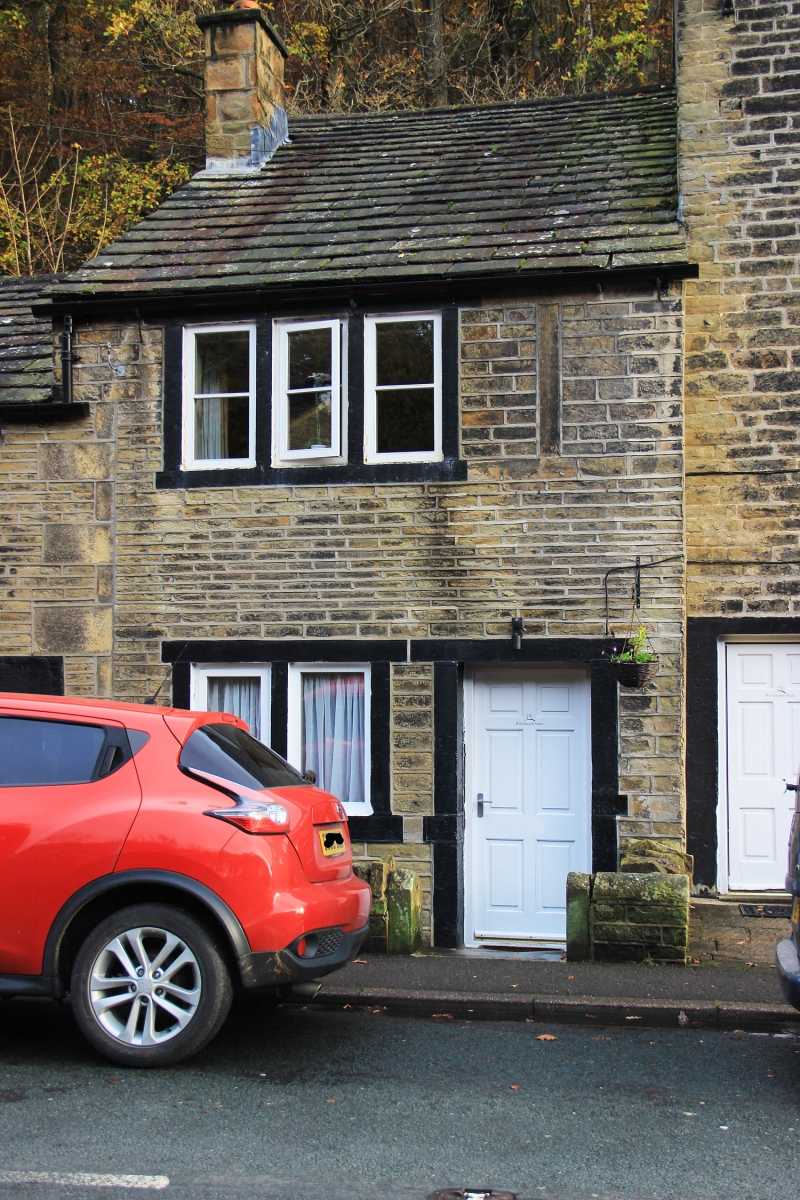
Formerly 2 dwellings, part of row. Left part C18, right part early C19. Hammer dressed stone. Quoins to left part. Stone slate roof, left part lower. Two storeys. Part to left has one 3-light window and blocked doorway to ground floor, and one 3-light window to 1st floor. Right part has one 2-light window and doorway to ground floor, and one 3-light window to 1st floor.
Listing NGR: SE1887111524
External links are from the relevant listing authority and, where applicable, Wikidata. Wikidata IDs may be related buildings as well as this specific building. If you want to add or update a link, you will need to do so by editing the Wikidata entry.


Other nearby listed buildings