Latitude: 55.4177 / 55°25'3"N
Longitude: -1.7104 / 1°42'37"W
OS Eastings: 418430
OS Northings: 613797
OS Grid: NU184137
Mapcode National: GBR J5HS.HQ
Mapcode Global: WHC1K.P3Q0
Plus Code: 9C7WC79Q+3R
Entry Name: 14, Walkergate
Listing Date: 25 August 1977
Grade: II
Source: Historic England
Source ID: 1178706
English Heritage Legacy ID: 235869
ID on this website: 101178706
Location: Alnwick, Northumberland, NE66
County: Northumberland
Civil Parish: Alnwick
Built-Up Area: Alnwick
Traditional County: Northumberland
Lieutenancy Area (Ceremonial County): Northumberland
Church of England Parish: Alnwick
Church of England Diocese: Newcastle
Tagged with: Building
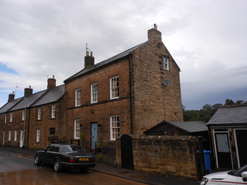
WALKERGATE 1. 5330 (North Side) No 14 NU 1813 NW 3/392 II GV 2. Late C181early C19. Two storeys. Taller then Nos 8 to 12 (even). Three windows. Ashlar. First floor cill course and chamferred eaves course. Slate roof and coped verges. Two gable end brick chimneys. Glazing bar sash windows. Central flush panel door.
Listing NGR: NU1842813800
External links are from the relevant listing authority and, where applicable, Wikidata. Wikidata IDs may be related buildings as well as this specific building. If you want to add or update a link, you will need to do so by editing the Wikidata entry.


Other nearby listed buildings