Latitude: 52.244 / 52°14'38"N
Longitude: -2.2161 / 2°12'58"W
OS Eastings: 385338
OS Northings: 260673
OS Grid: SO853606
Mapcode National: GBR 1FK.BHV
Mapcode Global: VH92F.JVSL
Plus Code: 9C4V6QVM+JG
Entry Name: Mildenham Bridge
Listing Date: 21 March 1985
Grade: II
Source: Historic England
Source ID: 1172780
English Heritage Legacy ID: 147946
ID on this website: 101172780
Location: Chatley, Wychavon, Worcestershire, WR9
County: Worcestershire
District: Wychavon
Civil Parish: North Claines
Traditional County: Worcestershire
Lieutenancy Area (Ceremonial County): Worcestershire
Church of England Parish: Claines
Church of England Diocese: Worcester
Tagged with: Bridge
SO 86 SE NORTH CLAINES CP DROITWICH BARGE CANAL
4/52 Mildenham Bridge
-
GV II
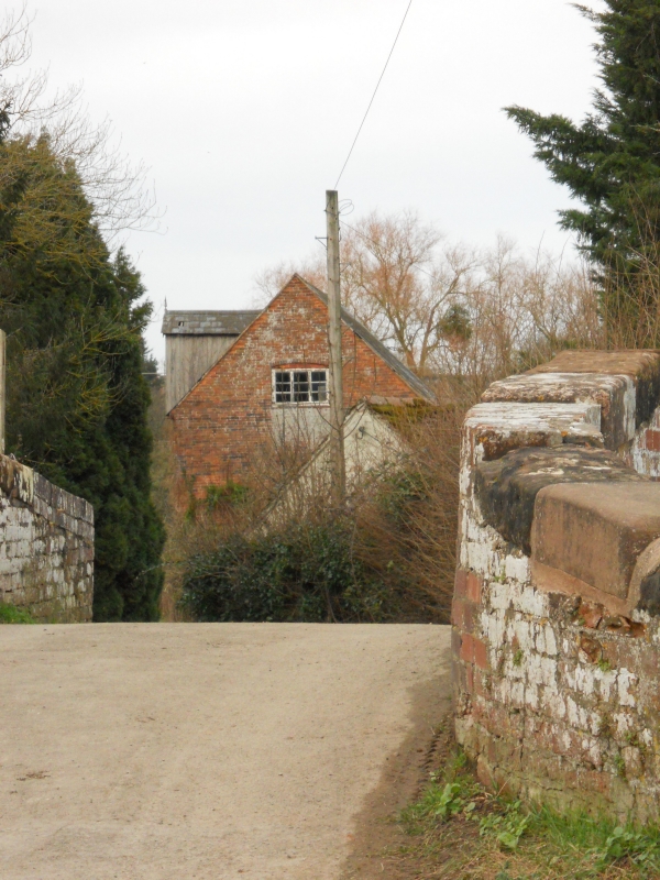
Lock tail bridge. c1771 by James Brindley. Handmade brick in English bond with sandstone dressings and some mid-C20 brick repairs. Elliptical arch, about 14 feet wide at base, with sandstone course above arch on both sides; curved parapet splayed at ends with repaired sandstone copings; lower parapet strengthened by upright metal tie-bar. The Droitwich Barge Canal is a broad gauge canal linking Droitwich with the River Severn. James Brindley acted as consultant engineer throughout its construction and it was completed in 1771. It was built to provide a reliable transport system for the salt industry and was worked by specially developed "wich" barges. It was under- going restoration at time of survey (September 1984) by the Droitwich Canals Trust. The bridge forms a group with Mildenham Lock (qv) immediately east of the bridge. (Droitwich Canals Trust Ltd : A Guide to the Droitwich Canals).
Listing NGR: SO8533860673
External links are from the relevant listing authority and, where applicable, Wikidata. Wikidata IDs may be related buildings as well as this specific building. If you want to add or update a link, you will need to do so by editing the Wikidata entry.


Other nearby listed buildings