Latitude: 53.4941 / 53°29'38"N
Longitude: -0.67 / 0°40'11"W
OS Eastings: 488333
OS Northings: 400528
OS Grid: SE883005
Mapcode National: GBR RXR1.R6
Mapcode Global: WHGGR.PF5R
Plus Code: 9C5XF8VJ+J2
Entry Name: Old Windmill
Listing Date: 23 May 1985
Grade: II
Source: Historic England
Source ID: 1165893
English Heritage Legacy ID: 196858
ID on this website: 101165893
Location: Scotter, West Lindsey, Lincolnshire, DN21
County: Lincolnshire
District: West Lindsey
Civil Parish: Scotter
Built-Up Area: Scotter
Traditional County: Lincolnshire
Lieutenancy Area (Ceremonial County): Lincolnshire
Church of England Parish: Scotter St Peter
Church of England Diocese: Lincoln
Tagged with: Windmill
SE 80 SE
2/49
SCOTTER
GAINSBOROUGH ROAD
Old Windmill
II
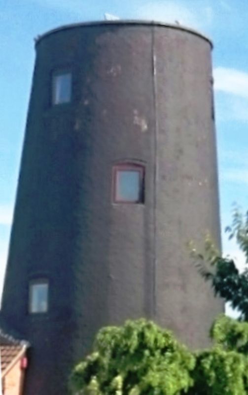
Tower mill. Early C19. Red brick; a tapering three storey tower with central planked door and above single openings to each stage. To the sides are a ground floor opening and a further opening mid way between first and second floor levels. The openings all have slight segmental heads.
Listing NGR: SE8833300528
External links are from the relevant listing authority and, where applicable, Wikidata. Wikidata IDs may be related buildings as well as this specific building. If you want to add or update a link, you will need to do so by editing the Wikidata entry.


Other nearby listed buildings