Latitude: 52.3236 / 52°19'25"N
Longitude: -0.0733 / 0°4'23"W
OS Eastings: 531410
OS Northings: 271250
OS Grid: TL314712
Mapcode National: GBR K4C.6BG
Mapcode Global: VHGLY.PV4L
Plus Code: 9C4X8WFG+CM
Entry Name: 6, the Pavement
Listing Date: 24 March 1972
Grade: II
Source: Historic England
Source ID: 1161658
English Heritage Legacy ID: 53439
ID on this website: 101161658
Location: St Ives, Huntingdonshire, Cambridgeshire, PE27
County: Cambridgeshire
District: Huntingdonshire
Civil Parish: Saint Ives
Built-Up Area: St Ives
Traditional County: Huntingdonshire
Lieutenancy Area (Ceremonial County): Cambridgeshire
Church of England Parish: St Ives All Saints
Church of England Diocese: Ely
Tagged with: Building
This list entry was subject to a Minor Amendment on 11 March 2026 to update the Name and Address and reformat the text to current standards
TL 3171
1/70
THE PAVEMENT
No 5 and 5A
(Formerly listed as No. 6)
GV
II
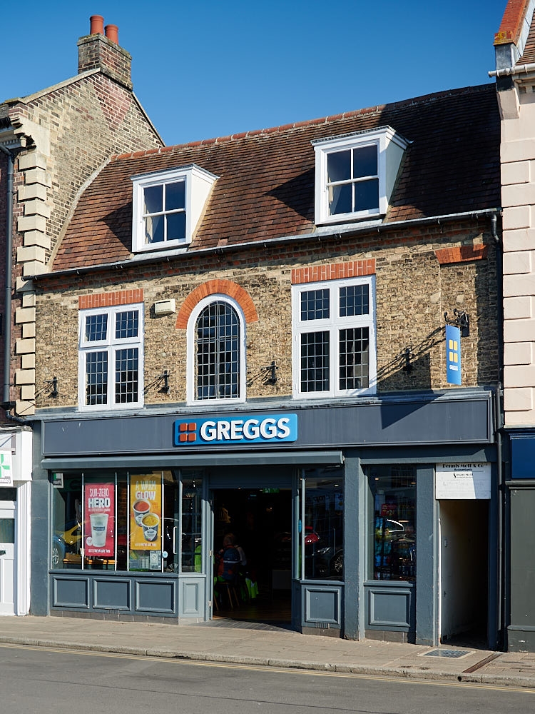
Formerly the Three Horseshoes Tavern. C18 altered. Two storeys with attics, gault brick with red brick dressings, tile mansard roof.Three windows, middle with semi-circular head, modern frames and lead glazing. Two flat-topped dormers. Ground floor modern shop front.
The Corn Exchange, Nos. 5 to 10 (consec.) and No. 12 form a group.
Listing NGR: TL3142571249
External links are from the relevant listing authority and, where applicable, Wikidata. Wikidata IDs may be related buildings as well as this specific building. If you want to add or update a link, you will need to do so by editing the Wikidata entry.


Other nearby listed buildings