Latitude: 54.5812 / 54°34'52"N
Longitude: -1.8045 / 1°48'16"W
OS Eastings: 412736
OS Northings: 520680
OS Grid: NZ127206
Mapcode National: GBR HHVG.4K
Mapcode Global: WHC5L.73ZV
Plus Code: 9C6WH5JW+F6
Entry Name: Former Chapel
Listing Date: 30 September 1987
Grade: II
Source: Historic England
Source ID: 1160779
English Heritage Legacy ID: 111543
ID on this website: 101160779
Location: Staindrop, County Durham, DL2
County: County Durham
Civil Parish: Staindrop
Built-Up Area: Staindrop
Traditional County: Durham
Lieutenancy Area (Ceremonial County): County Durham
Church of England Parish: Staindrop
Church of England Diocese: Durham
Tagged with: Chapel
STAINDROP QUEEN STREET NZ 1220 (West side) 17/178 Former chapel
II
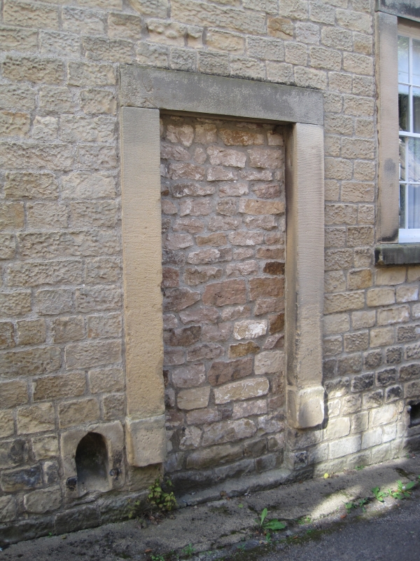
Former chapel, now workshop and store room. Dated 1827 on door surround. East elevation coursed squared sandstone, returns and rear rubble, with quoins and ashlar dressings; brick addition; roof of graduated grey slates with stone gable copings. One high storey, 5 bays. East elevation: symmetrical; plain stone surrounds to renewed door in second and blocked door in fourth bays; similar surrounds to large sashes to end stairs, smaller gallery sashes above doors, and large central 2-centred-arched sash with impost blocks; all windows have glazing bars, those to central window intersecting. Roof has moulded kneelers; small square banded end chimneys. Rear, west elevation has fenestration similar to that on east. Right return inserted vehicle entrance and loading door to left of one-storey part addition with 2 Gothic-shaped lights in window.
Interior not inspected.
Listing NGR: NZ1273620680
External links are from the relevant listing authority and, where applicable, Wikidata. Wikidata IDs may be related buildings as well as this specific building. If you want to add or update a link, you will need to do so by editing the Wikidata entry.


Other nearby listed buildings